

A Little Drier Today, but Rain Returns on Sunday; Much Nicer Next Week
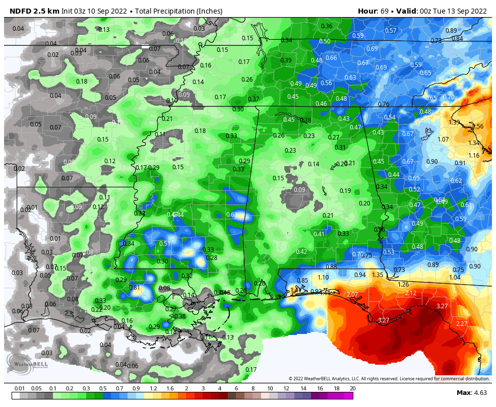
Projected rainfall totals through 7 pm Monday night.
WET AT TIMES THIS WEEKEND: An upper low will be moving into Louisiana from the Gulf of Mexico, and that will place a dry slot over a good portion of Central Alabama for your Saturday. Scattered showers and storms will be possible for the western 2/3rds of the area, while likely over the eastern 1/3rd. While some sun may peek through the clouds at times, we can expect a mostly cloudy sky. Highs in the upper 70s to the mid 80s.
A cold front will approach Central Alabama on Sunday, and will move into the area during the latter half of the day. More scattered to numerous showers and storms will be possible with mostly cloudy skies. No severe weather is expected with this front, and highs will be in the lower to mid 80s.
THE WORK WEEK AHEAD PROMISES MUCH NICER WEATHER: The front will push into the southern and southeastern parts of the state on Monday, which will begin the flow of drier, continental air into Central Alabama. While most will remain dry, there is a very slim chance of an afternoon shower or storm. Highs in the upper 70s to the upper 80s.
Some of the best weather we have seen in over three months will start on Tuesday as humidity values will be much lower, and we’ll have plenty of sunshine. Highs in the lower to mid 80s. Same story on Wednesday, just a few degrees warmer. Highs in the mid to upper 80s for most. Some locations may start off the morning in the upper 50s just before sunrise. And again on Thursday, mainly sunny skies and remaining very comfortable. Highs in the mid to upper 80s.
And at the end of the forecast period on Friday… A low will be moving up the East Coast and will introduce a little more moisture to our air. While most will stay dry, a few isolated to scattered showers will be possible. Highs in the lower to mid 80s.
TROPICS CALMING DOWN AT THE PEAK OF THE SEASON: As of 10 pm Friday night, Hurricane Earl continues to move rapidly off to the northeast as a strong category 2 hurricane. Earl will continue this motion until tomorrow night, where the storm is expected to slow down in motion through Monday. Earl is expected to transition into a strong extratropical low today and will weaken. Large waves and dangerous rip currents can be expected to affect Bermuda, portions of the US East Coast, and the eastern shores of Canada through the weekend.
We also have a tropical wave that is forecast to move off the west coast of Africa by early next week. Some gradual development of the wave will be possible after it moves over water and heads generally westward over the far eastern Atlantic. It has a very low chance of development over the next five days.
The good news is that there is nothing else out there, especially over the Gulf of Mexico, and no new development is expected over the next five days.
Category: Alabama's Weather, ALL POSTS, Tropical, Weather Xtreme Videos
About the Author (Author Profile)
Scott Martin is an operational meteorologist, professional graphic artist, musician, husband, and father. Not only is Scott a member of the National Weather Association, but he is also the Central Alabama Chapter of the NWA president. Scott is also the co-founder of Racecast Weather, which provides forecasts for many racing series across the USA. He also supplies forecasts for the BassMaster Elite Series events including the BassMaster Classic.Subscribe
If you enjoyed this article, subscribe to receive more just like it.


