Warmer Air Surges Northward
The leading edge of warmer air is moving into the Birmingham metro from the south… the temp/dewpoint spread at the Birmingham Airport is up to 62/61; quite a change from the chilly 40s we saw earlier this morning.
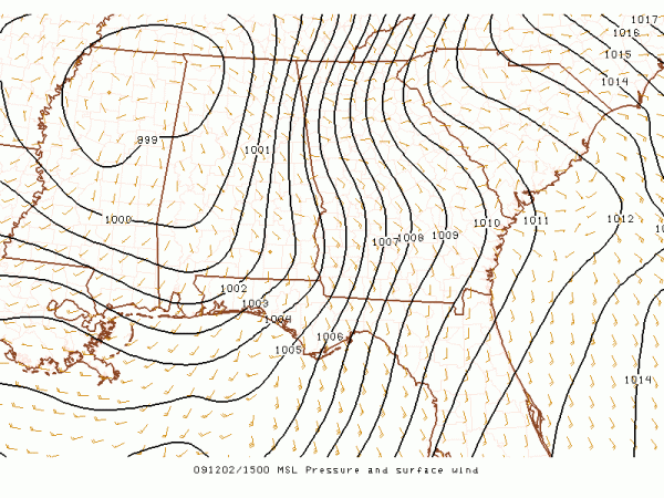
The deep surface low is under 1000 mb now, and is moving through NE Mississippi:

Despite the dewpoint in the low 60s, there is still no surface based CAPE here, and severe weather is not expected across the northern half of Alabama. Of course, when it comes to thunderstorms, expect the unexpected, so we will keep an eye on things anyway.
The bulk of the heavier rain has moved into Georgia, but additional showers are possible this afternoon as a surface cold front moves through, and we turn sharply colder tomorrow.
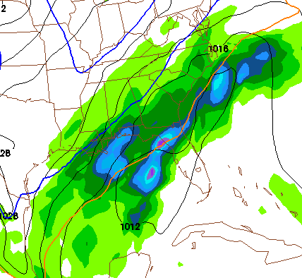
SATURDAY MORNING SNOW? The 12Z NAM has completed… here is a look at the output valid at 6:00 Saturday morning:

Still looks like some potential for light snow around here from midnight Friday night through midday Saturday. The deeper moisture stays south, however, and it doesn’t look like it will be problematic in terms of travel or general disruption. Some parts of East Alabama could see a dusting. Much more coming up on the afternoon Weather Xtreme video later today…
Category: Uncategorized


