A Stunning Sky Display From Above and Below
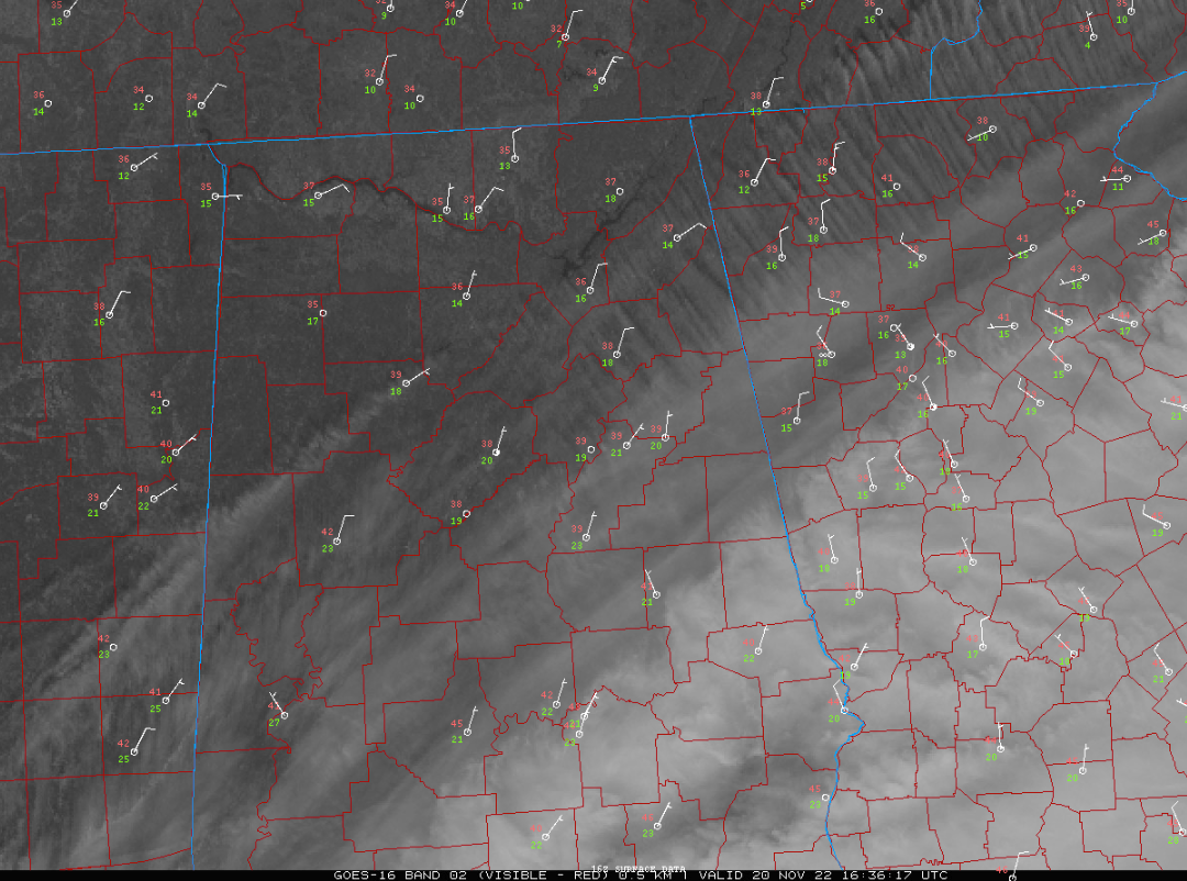
Satellite imagery this morning has shown clear skies over North Alabama, but a fast-moving band of high cirrus clouds near nad south of I-20, and thicker clouds to the south.
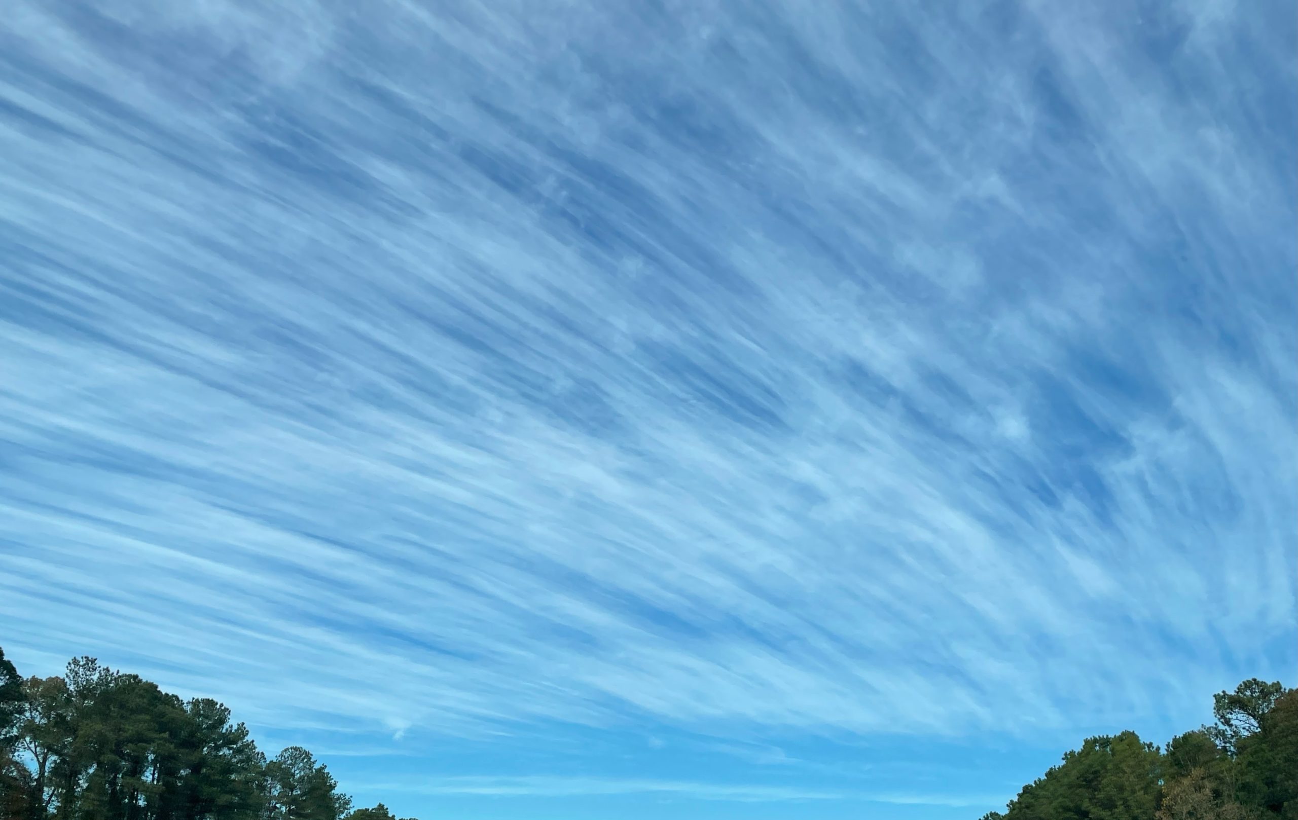
Here is what that looked like from south of Birmingham:
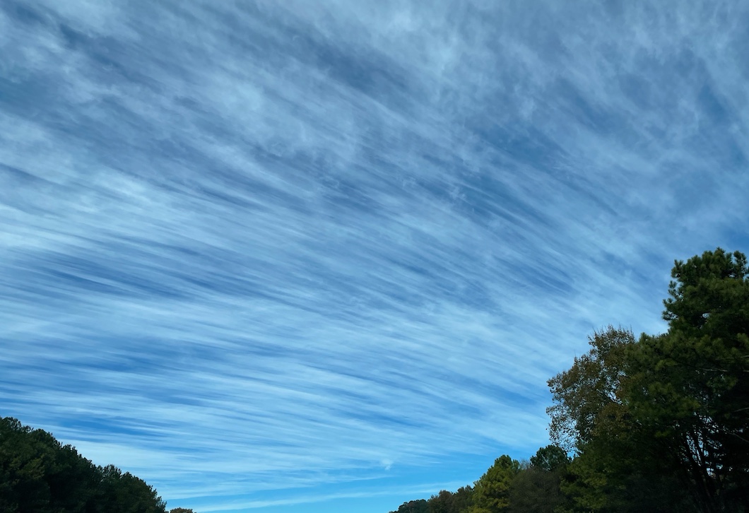
And this…
Temperatures are approaching 40 in the I-20 Corridor, with 30s to the north. The nearest rain is over the Florida Peninsula, south of Perry. It is moving away from Alabama and the day will feature a good supply of sunshine over the northern half of the state, with increasing sunshine over the South.
Highs will be in the 40s.
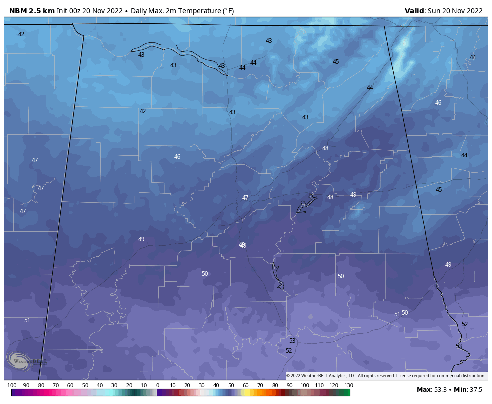
There will be widespread 20s tonight.
Some high clouds will return early Monday but there will be some sunshine through the morning hours in all areas. Clouds will begin gradually increasing though through the afternoon. A few showers are possible late Monday night into the day on Tuesday.
The forecast is all over the board for the Iron Bowl. The GFS is on again, off again with rain chances. The Euro shows Saturday to be dry with rain holding off til Sunday night. I will update the forecast with the Euro as my primary base line. Stand by for that in the next few minutes.
Have a great Sunday!
Category: Alabama's Weather, ALL POSTS
About the Author (Author Profile)
Bill Murray is the President of The Weather Factory. He is the site's official weather historian and a weekend forecaster. He also anchors the site's severe weather coverage. Bill Murray is the proud holder of National Weather Association Digital Seal #0001 @wxhistorianSubscribe
If you enjoyed this article, subscribe to receive more just like it.


