Severe Threat is Over; Rain Exiting the State
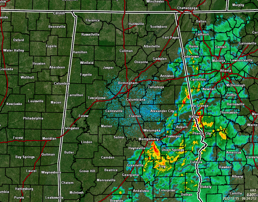
As of 12:37 am, it now looks like the severe threat has ended for this event as the atmosphere over the southeastern parts of Central Alabama has become too stable. Rain has now ended for much of the area except for the locations near the AL/GA state line and along and east of the I-85 corridor.
The TORNADO WATCH remaining in effect for Barbour, Lee, and Russell counties will be allowed to expire at 1 am.
The FLOOD WATCH was allowed to expire at midnight.
Much cooler air has already begun to move into the area and highs will only be in the lower 50s to the lower 60s with clearing skies.
Have a good night!
Category: Alabama's Weather, ALL POSTS, Severe Weather
About the Author (Author Profile)
Scott Martin is an operational meteorologist, professional graphic artist, musician, husband, and father. Not only is Scott a member of the National Weather Association, but he is also the Central Alabama Chapter of the NWA president. Scott is also the co-founder of Racecast Weather, which provides forecasts for many racing series across the USA. He also supplies forecasts for the BassMaster Elite Series events including the BassMaster Classic.Subscribe
If you enjoyed this article, subscribe to receive more just like it.


