A Beautiful Sunday Afternoon; Dry Weather Hangs Around for Two More Days
A FANTASTIC SUNDAY
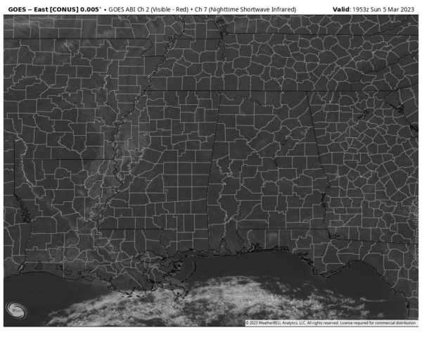
As we have hit the mid-afternoon hours in Central Alabama, skies are a beautiful cobalt blue filled with tons of sunshine. Temperatures as of the 2 pm roundup were in the lower 70s to the lower 80s. Troy was the warm spot at 81º. The cool spot was Gadsden at 71º. Birmingham was at 73º. With total sunshine, afternoon highs will max out in the lower 70s to right around 80 degrees from north to south. Clear skies can be expected for tonight, with lows dipping into the upper 40s to the mid 50s.
THE WORK WEEK AHEAD
Monday will be another very nice and warm day as skies will be mostly sunny through the daylight hours, but clouds will begin to move in late. At this point, no rain is expected. Highs in the upper 70s to the lower 80s. Tuesday will feature partly to mostly sunny skies, as the latest model runs are now keeping us dry. Highs in the mid 70s to the mid 80s. A disturbance will move into the area on Wednesday that will bring a good chance of showers to the Tennessee Valley and to the northern parts of Central Alabama, while the rest of the area will have a much smaller chance of showers. Highs will range from the lower 60s to the mid 70s.
Another wave will bring more showers and maybe some thunder to the northern parts of the area once again on Thursday, while the southern half looks to stay dry. No severe weather as there will be no instability in place. Highs in the mid 50s to the lower 70s from northeast to southwest. A front will move through Central Alabama on Friday that will bring a good chance of showers and some thunder, and this time we’ll have to watch for some strong storms as there will be a decent bit of instability involved. We’ll keep you posted throughout the week. Highs in the mid 60s to the upper 70s.
NEXT WEEKEND
Saturday is now trending to be a drier and cooler day across Central Alabama with highs in the upper 50s to the upper 60s, but Sunday is now trending to be a cloudy and wet day as a surface low approaches from the west. We’ll have to watch for some stronger storms along and south of the low’s path as it moves across the area, especially during the late night and overnight hours. Sunday’s highs in the lower 50s to the mid 60s.
Category: Alabama's Weather, ALL POSTS


