Noon Update: Severe Weather Threat Over For Central Alabama
The new SPC Day One OUtlook is out and it has removed all of Central Alabama from today’s severe weather threat.
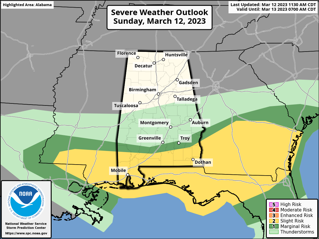
There is still a chance that severe weather will occur this afternoon across South Alabama near the Florida border. Damaging wind gusts and a couple of tornadoes are possible.
Here is the radar at noon:
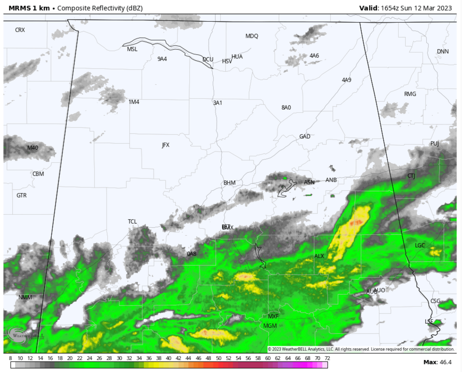
SOme rain will redevelop along the secondary cold front as it pushes through the state during the afternoon.
Temperatures are in the 50s and 60s over North Alabama and mostly 60s over Central Alabama. A little bit of sunshine is beginning to break through in spots, and that may allow readings to rise a few degrees, but that will be somewhat offset by cooler air flowing in. That cold air advection will increase tonight behind a secondary cold front. Northwesterly winds will increase as well and become gusty. Lows tonight will be in the 30s North and North Central and 40s South Central.
Tomorrow will be mostly sunny and cool with highs in the 50s. Tuesday pretty much the same.
We continue to highlight the threat of a freeze across the area both Monday night and Tuesday night. Lows both nights will be in the 20s and 30s. Gusty winds no Monday should diminish prior to Monday night allowing for very favorable conditions for frost, and with temperatures a couple of degrees below freezing, vulnerable plants, pets, and people need to be protected.
Category: Alabama's Weather, ALL POSTS, Severe Weather
About the Author (Author Profile)
Bill Murray is the President of The Weather Factory. He is the site's official weather historian and a weekend forecaster. He also anchors the site's severe weather coverage. Bill Murray is the proud holder of National Weather Association Digital Seal #0001 @wxhistorianSubscribe
If you enjoyed this article, subscribe to receive more just like it.


