Midday Nowcast: Tons of Sunshine
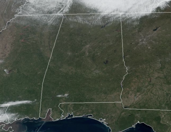
Tons of sunshine and cool temperatures continue to highlight our forecast for our Tuesday. Temperatures this afternoon are in the 50s for the northern half of the state, while some 60s are on the map across South Alabama. Tonight should be our coldest as the freeze warning continues, and has been extended south to include Grove Hill, Monroeville, Evergreen, Troy, and Eufaula, as temperatures early tomorrow morning will again range between 25-35 degrees.
ELSEWHERE IN THE USA: Storm-weary Californians are facing another strong Atmospheric River Event and the Northeast is bracing for a powerful Nor’easter. Heavy rain may produce widespread considerable flood threats, mudslides, and debris flows on burn scars. Dangerous to impossible travel expected across the interior Northeast due to heavy snow. The storm will produce damaging winds and widespread coastal flooding.
WARMER DAYS: Temperatures begin to warm tomorrow as highs surge into the 60s. Temperatures reach the 70s Thursday afternoon with a good supply of sunshine. Clouds return Thursday night, and rain arrives Friday ahead of another cold front. Some storms are possible, but for now, severe storms are not expected over most of Alabama due to the lack of surface based instability. We will watch trends in the coming days as the forecast could change. Rain amounts Friday will be around one inch with locally higher amounts possible.
COLDER WEEKEND: Another shot of colder air arrives Saturday behind the Friday front. The sky will be mostly sunny with highs in the 40s and 50s for North/Central Alabama. Another late season freeze seems likely for much of North/Central Alabama by early Sunday morning with lows back in the low to mid 20s for many locations. Sunday will be sunny and cool with highs in the 50s for North Alabama, with 60s for the southern counties of the state.
NEXT WEEK: Another freeze is likely for North/Central Alabama early Monday, followed by a warming trend. Global models are not in especially good agreement, but it looks like rain will return to much of the state Tuesday, followed by another chance of rain Friday. Temperatures reach the 70s by the end of the week.
BEACH FORECAST CENTER: Get the latest weather and rip current forecasts for the beaches from Fort Morgan to Panama City on our Beach Forecast Center page. There, you can select the forecast of the region that you are interested in visiting.
WORLD TEMPERATURE EXTREMES: Over the last 24 hours, the highest observation outside the U.S. was 114.3F at Matam, Senegal. The lowest observation was -73.5F at Vostok, Antarctica.
CONTIGUOUS TEMPERATURE EXTREMES: Over the last 24 hours, the highest observation was 94F at West Palm Beach, FL. The lowest observation was -19F at Willow City, ND.
Category: Alabama's Weather, ALL POSTS
About the Author (Author Profile)
Macon, Georgia Television Chief Meteorologist, Birmingham native, and long time Contributor on AlabamaWX. Stormchaser. I did not choose Weather, it chose Me. College Football Fanatic. @Ryan_StinnetSubscribe
If you enjoyed this article, subscribe to receive more just like it.


