Showers Tomorrow Night; Dry/Cooler Weekend
ANOTHER SUNNY, WARM AFTERNOON: Again today we have a cloudless sky across Alabama with temperatures generally in the mid 80s. Tonight will be fair with low in the 54-62 degree range.
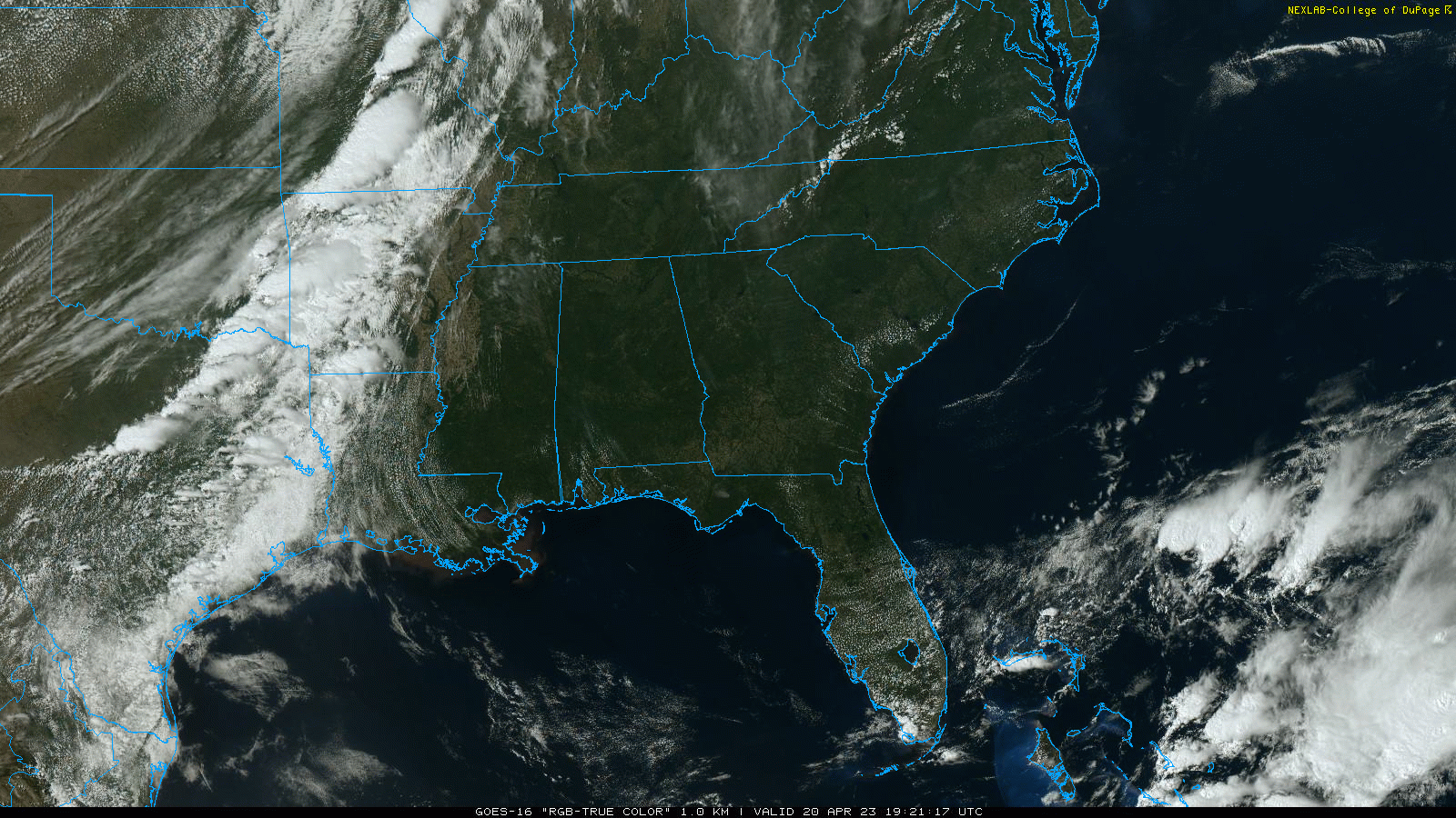
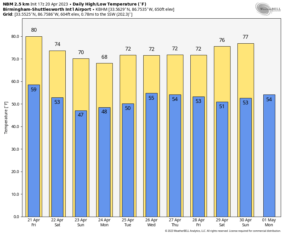
The sky will be partly sunny tomorrow with a high around 80; clouds will increase by afternoon ahead of a cold front. A few scattered afternoon showers are possible, mostly across North and West Alabama, but much of the day will be dry with a high in the 77-81 degree range.
A band of organized showers will enter the northwest counties of the state by late afternoon ahead of the front. Showers and few thunderstorms are likely statewide tomorrow night; severe storms are not expected due to the lack of instability and weak dynamic support. Rain amounts for most communities will be 1/2 inch or less.
THE ALABAMA WEEKEND: It now looks like the showers will be out of the state for the most part by daybreak Saturday. The sky will be mostly sunny during the day with a high not too far from 70 degrees. Sunday will feature a good supply of sunshine with a high in the mid to upper 60s after a morning low in the 40s.
NEXT WEEK: Monday will be dry with a high in the upper 60s, then the weather turns unsettled for the rest of the week with some risk of showers and storms on daily basis Tuesday through Thursday. For now severe thunderstorms are not expected, and highs through the week will remain in the upper 60s and low 70s, which is below average for late April. See the video briefing for maps, graphics, and more details.
ALABAMA A-DAY: The sky will be mostly sunny in Tuscaloosa for the annual spring game at Bryant-Denny Stadium (2:00p CT kickoff) with temperatures in the low 70s.
RACE WEEKEND AT TALLADEGA: Look for a mostly sunny sky Saturday with a high close to 70 degrees. Dry weather continues Sunday for the running of the Geico 500… the sky will be mostly sunny with a high in the mid to upper 60s.
STALLIONS: The sky will be clear for the Birmingham Stallions game Saturday night (6p CT kickoff)… temperatures will fall from near 71 at kickoff into the mid 50s by the final whistle.
ON THIS DATE IN 1920: An F4 tornado touched town near Bradley in Oktibbeha County, MS. It (or other tornadoes produced by the same storm) would remain on the ground 130 miles all the way across Marion, Franklin, Colbert and into Lawrence Counties in Alabama. Seven people died near Starkville and twenty two died on the west side of Aberdeen. A total of 20 people perished in Marion County, including nine at Bexar. Nineteen people died at Waco in Franklin County, including nine from one family. There were also four deaths in Colbert County and one in Lawrence County.
A total of 44 souls lost their lives with this killer in the state, making it the fourth deadliest tornado in Alabama history (behind the EF4 Tuscaloosa to Birmingham tornado and the EF5 Hackleburg-Phil Campbell tornado, both on April 27, 2011, and the F4 Marion to Jemison tornado on March 21, 1932)
BEACH FORECAST: Click here to see the AlabamaWx Beach Forecast Center page.
Look for the next video briefing here by 6:00 a.m. tomorrow…
Category: ALL POSTS
About the Author (Author Profile)
James Spann is one of the most recognized and trusted television meteorologists in the industry. He holds the AMS CCM designation and television seals from the AMS and NWA. He is a past winner of the Broadcast Meteorologist of the Year from both professional organizations.Subscribe
If you enjoyed this article, subscribe to receive more just like it.


