A Brief Weather Update Just Before 10 am
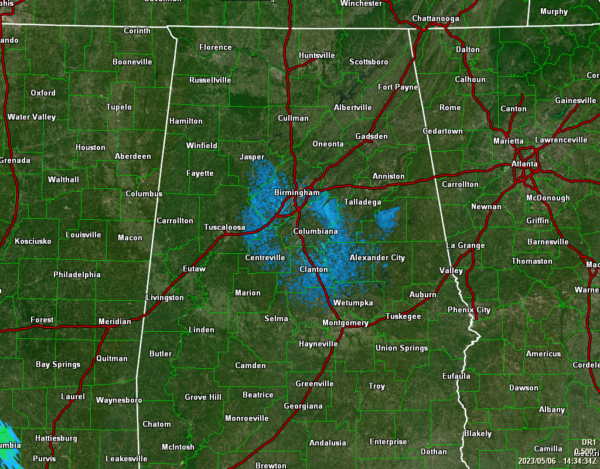
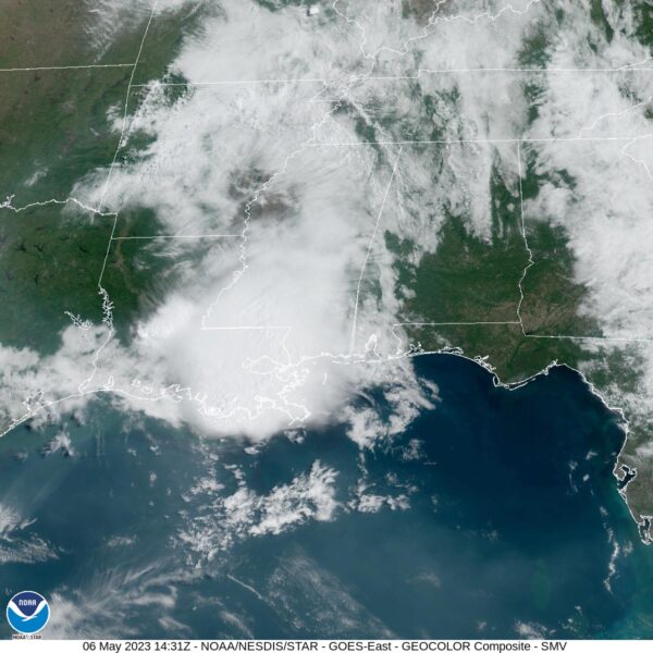
While the radar shows a clear sweep across Central Alabama during the mid-morning update, the latest satellite image shows clouds covering a good bit of the northern half and the western portions of the area. Temperatures as of the 9 am roundup were in the mid 60s to the lower 70s. Haleyville and Pell City were tied as the cool spots at 64º. Eufaula and Troy were tied as the warm spots at 73º. Birmingham was at 67º. Afternoon highs will reach the lower to mid 80s for most, with a couple of locations hitting the upper 80s.
If you are west of the cities of Cullman to Birmingham to Fort Deposit, you will have a small chance of isolated to scattered showers and thunderstorms through the late morning into the evening hours. If you are east of those cities, your daylight hours will remain dry. It will pretty much be the same story for tonight through the overnight hours, maybe expanding just a tad eastward to include Montgomery. Lows will be in the upper 50s to the mid 60s.
The forecast continues to be on track for Sunday, as showers and storms may move in from the northwest early and continue southeastward through the day. The higher rain chances will be over the northern two-thirds of the area (north of Demopolis to Alexander City), with slightly smaller rain chances south of that. Temperatures will once again range throughout the 80s across the area.
Category: Alabama's Weather, ALL POSTS


