The Midday Report — Scattered Storms Possible; SPC Shrinks Marginal Risk Area for the State
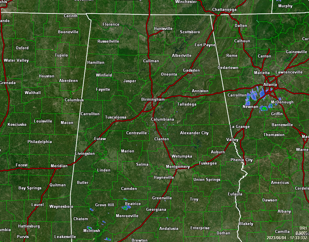
As of 12:33 pm, we are rain-free across Central Alabama on this fine but hot Sunday. Temperatures are currently in the upper 70s to the upper 80s across the area, and will continue to warm into the upper 80s to the lower 90s. Skies will be partly cloudy through the rest of the afternoon hours, with a chance of scattered showers and thunderstorms.
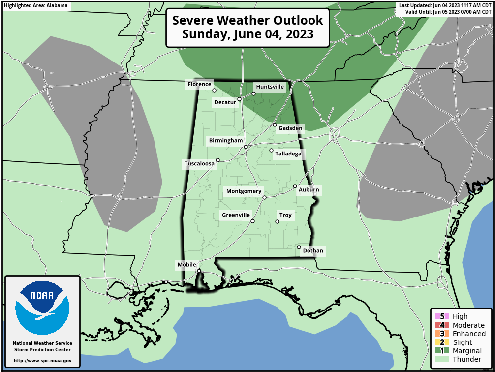
There is a threat of gusty winds, and the SPC continues a Marginal Risk for severe storms, mainly north of a line from Florence to Decatur to Gadsden, which is much smaller than what was outlined earlier this morning. Once we reach the evening, activity will start to diminish, and we all should be dry by the late local newscast. Lows will be in the 60s.
We’ll continue to have a chance of scattered showers and thunderstorms during the afternoon hours on Monday, with the higher concentration of those over the southwestern parts of the area. The extreme southeastern parts of the area may just remain dry. Afternoon highs look to top out in the upper 80s to the lower 90s.
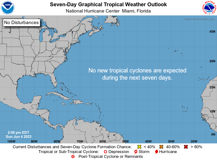
All is quiet across the tropics, and it looks to stay that way through the next seven days.
Category: Alabama's Weather, ALL POSTS, Severe Weather, Tropical
About the Author (Author Profile)
Scott Martin is an operational meteorologist, professional graphic artist, musician, husband, and father. Not only is Scott a member of the National Weather Association, but he is also the Central Alabama Chapter of the NWA president. Scott is also the co-founder of Racecast Weather, which provides forecasts for many racing series across the USA. He also supplies forecasts for the BassMaster Elite Series events including the BassMaster Classic.Subscribe
If you enjoyed this article, subscribe to receive more just like it.


