Sunday Weather Briefing Video: March Keeps Roaring in the Week Ahead
We turned the page on the old calendar on the wall on Friday to March. It didn’t exactly roar in like a lion, as the old adage says, but there were some pretty impressive rainfall amounts. Much of the state received at least one half inch of rain, with the exception being the northwestern part of Alabama. A large part of North Central and South Central Alabama received at last 1.5 inches of rain, with a narrow stripe across parts of Fayette, Walker, northern Jefferson, Blount, northern St Clair and Etowah counties picking up over three inches. The big winners in the rainfall sweepstakes were parts of Blount County, where 4.68 inches fell about 5 miles west southwest of Springville. 4.30 inches fell southwest of Oneonta, and 4.15 inches fell NNE of Rainbow City. There were some isolated heavier amounts in South Central Alabama as well, including 3.96” of rain at Ramer in Montgomery County. We are excited about any rain we get and we are in pretty good shape statewide. Only the Tennessee Valley and southwestern Alabama has been dry recently. Most of Southwest Alabama picked up around an inch or more.
FOR YOUR SUNDAY: High pressure in the east, big low pressure in the west is the pattern across North America. Here In Alabama, low clouds and fog formed overnight, with dense fog advisories across South Alabama. Temperatures are fairly mild, in the 40s North to around 50F in the I-20 Corridor, with lower and middle 50s South. Clouds will thin a bit during the day, but skies will remain mostly cloudy. There could be passing shower in the moist southerly flow. Lows tonight will be in the middle and upper 50s area wide.
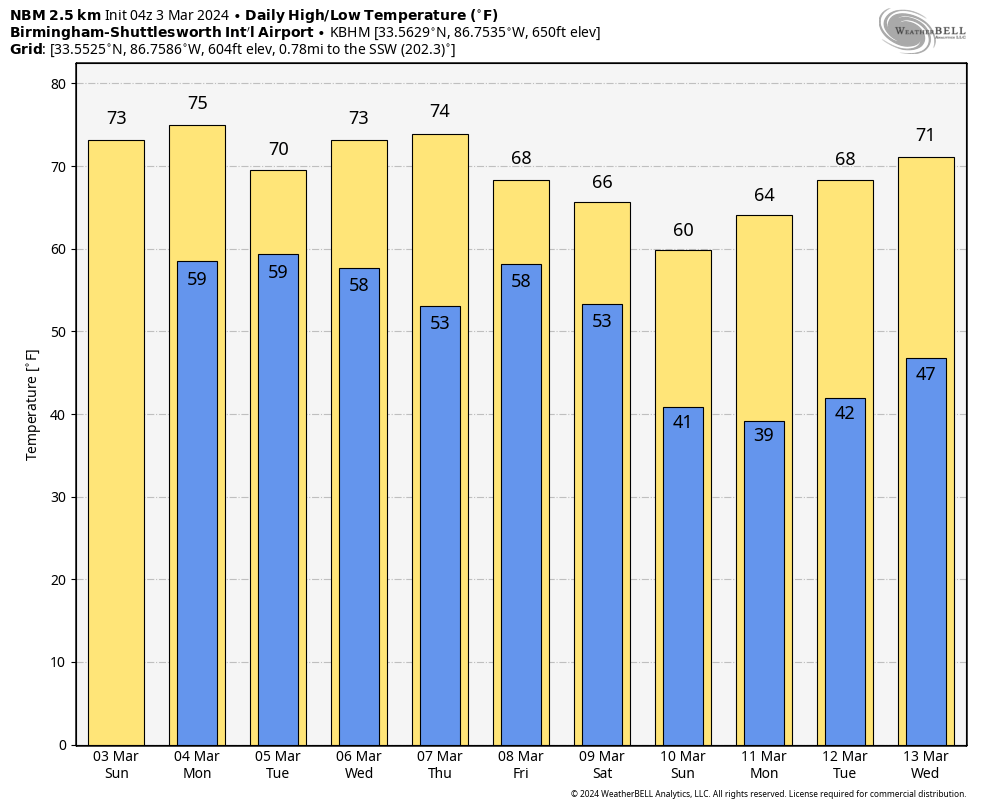
CLOUDS THE RULE DURING THE WEEK: Alabama will be under a busy southwesterly flow aloft for the week ahead, with occasional disturbances rippling along in the flow. It will be mild all week, with highs mostly in the 65-76 range. Monday looks to be mostly cloudy with a few showers and maybe a little thunder during the afternoon, but the main rain and storms will hold off until after midnight it appears. This system looks like it will move into South Alabama. They are not expected to be severe in Alabama, but the SPC does have a marginal risk up for areas west of the state Monday afternoon and evening. It does not look to be a big threat. The rain and storms will continue into Tuesday night and may even hang around into early Wednesday over eastern sections. Highs should make it make into the lower and middle 70s. Winds will be a little gusty both Tuesday and Wednesday.
A LITTLE SUN THURSDAY, THEN BACK INTO THE CLOUDS FRIDAY: Skies will be at least partly sunny on Thursday with highs in the 70s. Rain will return on Friday, along with storms. They should not be severe but heavy rain will be possible. Rainfall amounts could exceed four inches in some areas, especially in areas a little north of I-20. Flooding may become a problems. It could be quite windy on Friday, with gusts reaching 30-40 mph.
VOODOO COUNTRY: A quick hitting system around the start of the week two period, with a rain and storm event around the 14th and 15th. Two early to say if there could be severe weather but it will be a favorable pattern if the current modeling is right.
BEACHCAST: Dense fog this morning and again Monday morning as it is the season for that. A few showers through Monday night, then rain and storms will be heavy on Tuesday. More rain and storms Friday night along the beautiful beaches of Alabama and Northwest Florida. Highs will be in the 70s all week, dropping back into the 60s in week two. Water temperatures are in the mid 60s. Low to moderate rip current risk through Tuesday, but it becomes high by Tuesday night and Wednesday, so be careful if you are heading to the beach.
Click here to see the Beach Forecast Center page.
NATIONALLY: The United States is experiencing a diverse range of weather phenomena as a significant winter storm continues to impact the West, bringing heavy mountain snow, damaging winds, and severe blizzard conditions, particularly in the Sierra Nevada. The Northern Plains near the Canadian border, including Montana and North Dakota, are seeing accumulating snowfall, while a wintry mix affects areas from North Dakota to northern Minnesota. Meanwhile, New England is facing rainfall from a coastal storm, which is expected to exit by Sunday, but another system will bring more rain to the Mid-Atlantic coast by Monday. The country is also witnessing much above-average, spring-like temperatures across the Plains, Midwest, and moving into the Northeast, alongside a critical fire weather threat in the central and southern High Plains due to the warm, dry conditions.
DANCING WITH THE STATS: Twin Cities, Minnesota hit 63F on Saturday, smashing the former record of 54F by 9 degrees!
ADVERTISE WITH US: Deliver your message to a highly engaged audience by advertising on the AlabamaWX.com website. We have a lot of big plans for this year. Don’t miss out! We can customize a creative, flexible, and affordable package that will suit your organization’s needs. Contact me, Bill Murray, at (205) 687-0782 and let’s talk.
WEATHERBRAINS: This week, the panel will entertain David Payne and Lacey Swope from News 9 in Oklahoma City. I can’t wait! Check out the show at www.WeatherBrains.com. You can also subscribe on iTunes. You can watch the show live on our new YouTube channel for the show.You will be able to see the show on the James Spann 24×7 weather channel on cable or directly over the air on the dot 2 feed.
ON THIS DATE IN 1966: An extremely violent F5 tornado ripped through the southern part of Jackson, MS during the late afternoon. Twelve people were killed and 100 injured as the Candlestick Park shopping center, which was virtually destroyed. 1000 homes were damaged and nineteen killed in Hinds County, mostly in Jackson. Another six died in Rankin County, twenty six died in rural Scott County and six died in Leake County. Total storm related fatalities were fifty seven with 504 injured along the seventy five mile path. Damage was set at $18 million. The tornado ranks as the sixth deadliest in Mississippi history. Follow my weather history tweets on Twitter. I am @wxhistorian at Twitter.com.
Category: Alabama's Weather, ALL POSTS
About the Author (Author Profile)
Bill Murray is the President of The Weather Factory. He is the site's official weather historian and a weekend forecaster. He also anchors the site's severe weather coverage. Bill Murray is the proud holder of National Weather Association Digital Seal #0001 @wxhistorianSubscribe
If you enjoyed this article, subscribe to receive more just like it.


