The Midday Post — A Few Rays of Sun Breaking Through the Mostly Cloudy Skies
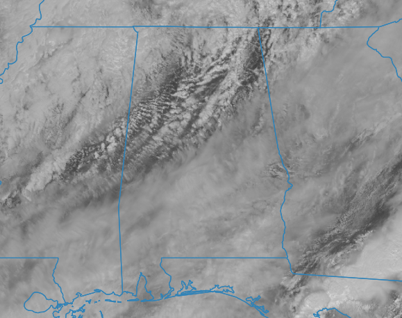
Today’s weather will be characterized by predominantly cloudy conditions, following the departure of earlier rain and thunderstorm activity from the region this morning. However, some breaks in those clouds are allowing some sunshine to make it through. I also wouldn’t be surprised if a few spots saw some drizzle or very light rain at some point today. Expect notably cooler temperatures due to the passage of a cold front, with afternoon highs ranging from the lower 60s in the northwest to around 70 degrees in the southeast. Cloud cover will persist overnight, with lows dipping into the upper 30s to mid-40s.
Sunday will continue to feature cool weather across the area, influenced by a northwesterly flow across Central Alabama. High temperatures will peak in the upper 50s to lower 60s. Although some cloud cover is anticipated late at night and into the overnight hours, temperatures will still decline to the lower 30s to lower 40s.
Encouragingly, a gradual warming trend is expected in the forthcoming work week. Monday will see the arrival of ridging, resulting in mostly sunny skies and highs ranging from the lower to mid-60s.
Temperatures will further ascend on Tuesday, with highs reaching the upper 60s to lower 70s under clear skies.
Wednesday may witness a slight increase in cloud cover as a shortwave system approaches from the west. While showers are possible in Mississippi, Central Alabama is forecasted to remain dry, experiencing mild temperatures in the lower to mid-70s.
By Thursday, a low-pressure system will consolidate over the Plains states, trailing a weak front across the region. While much of the area is expected to remain dry, there is a slight chance of isolated showers and thunderstorms during the late afternoon and evening hours. Highs will range from the mid-70s to lower 80s.
Looking ahead to Friday, the aforementioned front is projected to advance into Central Alabama, coinciding with favorable instability. Consequently, periods of rain and storms are likely throughout the day, with a potential for a few strong storms. However, the primary dynamics are anticipated to be situated above the Great Lakes, mitigating the risk of severe weather at this juncture. Continued monitoring of this situation is advised as details evolve in the coming days. High temperatures will persist in the 70s.
Category: Alabama's Weather, ALL POSTS
About the Author (Author Profile)
Scott Martin is an operational meteorologist, professional graphic artist, musician, husband, and father. Not only is Scott a member of the National Weather Association, but he is also the Central Alabama Chapter of the NWA president. Scott is also the co-founder of Racecast Weather, which provides forecasts for many racing series across the USA. He also supplies forecasts for the BassMaster Elite Series events including the BassMaster Classic.Subscribe
If you enjoyed this article, subscribe to receive more just like it.


