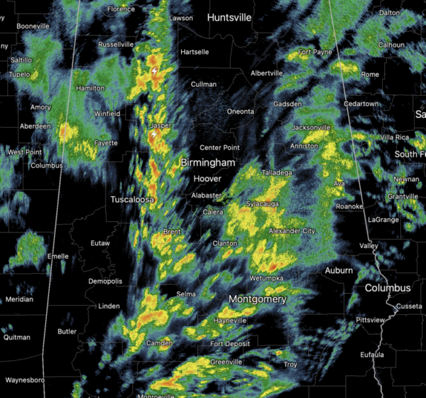
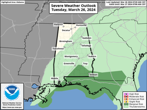
Midday Nowcast: Rain Ending Later Today
Rain continues to fall across much of Alabama today, and it remains quite breezy due to pressure gradient (non-thunderstorm) winds. The winds will be diminishing through the afternoon hours, and the rain will gradually end from west to east across Alabama today as drier air begins to work into the Alabama.
A few stronger storms are possible across far South Alabama where there is a small amount of surfaced based instability and some stronger thunderstorms wind gusts remain possible. Highs are in the upper 60s to lower 70s. Tonight will be dry and colder as lows fall into the 40s.
REST OF THE WEEK: Alabama will be rain-free the rest of this week with chilly mornings and pleasant afternoons. Highs will be in the mid to upper 60s tomorrow and Thursday, followed 70s Friday. Colder spots across North Alabama could see lows in the mid to upper 30s early Friday morning.
EASTER WEEKEND: This will be the best weekend of weather so far this year for Alabama and the Deep South. The weather will be dry and much warmer with partly to mostly sunny days and fair nights. The high Saturday will be well into the 70s, with upper 70s and some lower 80s Sunday for much of Alabama. For those sunrise services Sunday, it will be clear with temperatures in the upper 40s and lower 50s.
NEXT WEEK: Monday looks warm and dry with highs in the low to mid 80. Then, we will have some risk of rain in the Tuesday/Wednesday time frame, followed by dry, cooler air Thursday and Friday. Way too early to know if we will have an issue with strong storms…
BEACH FORECAST CENTER: Get the latest weather and rip current forecasts for the beaches from Fort Morgan to Panama City on our Beach Forecast Center page. There, you can select the forecast of the region that you are interested in visiting.
WORLD TEMPERATURE EXTREMES: Over the last 24 hours, the highest observation outside the U.S. was 108.9F at Campeche, Mexico. The lowest observation was -90.2F at Amundsen-Scott South Pole Station, Antarctica.
CONTIGUOUS TEMPERATURE EXTREMES: Over the last 24 hours, the highest observation was 95F at Hidalgo, TX. The lowest observation was -9F at Tioga, ND.
Category: Alabama's Weather, ALL POSTS


