

Midday Nowcast: Warm Days with Some Showers
Little change in the day to day forecast across Alabama these final days of April and first days of May. Afternoon highs will remain in the 80s across Alabama for the foreseeable future, and as humidity levels begin to rise, we are going to see more clouds and the chance for scattered showers on a daily basis.
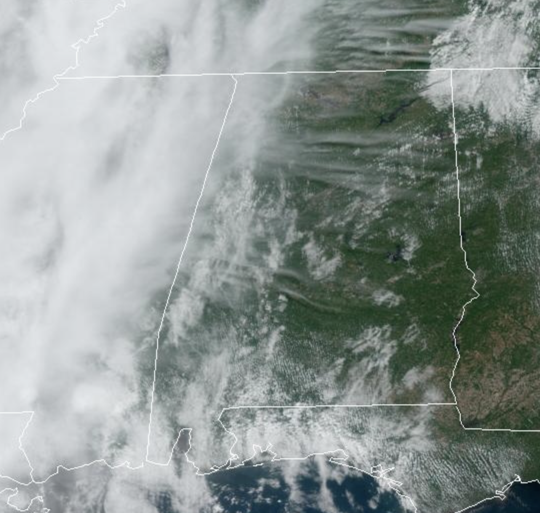
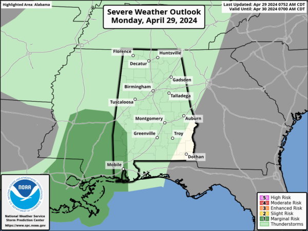
Today is featuring a mix of sun and clouds. A weak front will be approaching the state tonight and we will bring in a chance of showers statewide overnight and through tomorrow. The rain will not be especially heavy or widespread, and there is a chance some locations will not see enough rain to measure. Some thunder is possible across Southwest Alabama this evening, but severe storms are very unlikely.
BIRMINGHAM ALMANAC: For April 29th, the average high for Birmingham is 78° and the average low is 56°. The record high is 89° set in 1915, while the record low is 37° set in 1992. We average 0.15” of precipitation on this date, and the record value is 3.44” set in 1963.
WEDNESDAY/THURSDAY: These two days will be warm and mainly dry. Partly sunny days, fair nights, highs in the mid to upper 80s for most places. Some locations will be flirting with 90°.
ACROSS THE USA: More rounds of excessive rainfall and severe weather are expected to push east and southeast toward the Lower Mississippi Valley today. A late-season storm will bring widespread high-elevation snow and lower elevation rain across the Pacific Northwest towards the northern Rockies with increasingly windy conditions to develop over the northern High Plains.
FRIDAY AND THE WEEKEND: Another surface front will bring some showers Friday afternoon and Friday night. Saturday looks relatively dry with only isolated showers, then we are expecting an increase in rain coverage Sunday, especially over the northern half of the state. The weekend certainly won’t be a wash-out, but expect some rain at times. Highs will be in the low to mid 80s.
NEXT WEEK: Warm weather continues with highs in the 80s. A fairly moist airmass will be in place, meaning some risk of at least scattered showers on most days. With the main storm track well to the west and north of Alabama, we still see no sign of any high impact weather event for our state through the week (flooding, severe storms, etc).
BEACH FORECAST CENTER: Get the latest weather and rip current forecasts for the beaches from Fort Morgan to Panama City on our Beach Forecast Center page. There, you can select the forecast of the region that you are interested in visiting.
WORLD TEMPERATURE EXTREMES: Over the last 24 hours, the highest observation outside the U.S. was 115.5F at Joba, Oman. The lowest observation was -112.0F at Vostok, Antarctica.
CONTIGUOUS TEMPERATURE EXTREMES: Over the last 24 hours, the highest observation was 100F at La Puerta, TX. The lowest observation was 18F at Berthoud Pass, CO.
Category: Alabama's Weather, ALL POSTS
About the Author (Author Profile)
Macon, Georgia Television Chief Meteorologist, Birmingham native, and long time Contributor on AlabamaWX. Stormchaser. I did not choose Weather, it chose Me. College Football Fanatic. @Ryan_StinnetSubscribe
If you enjoyed this article, subscribe to receive more just like it.


