Snow update – 1045 pm
**WINTER STORM WARNING IN EFFECT**
This is a very difficult system to forecast. As we’ve mentioned before, two things cause upward motion in the atmosphere and precipitation…the approach of an upper-level disturbance (vorticity moving in), and warm air moving in. The two are opposing each other in large numbers in the area for our potential snow.
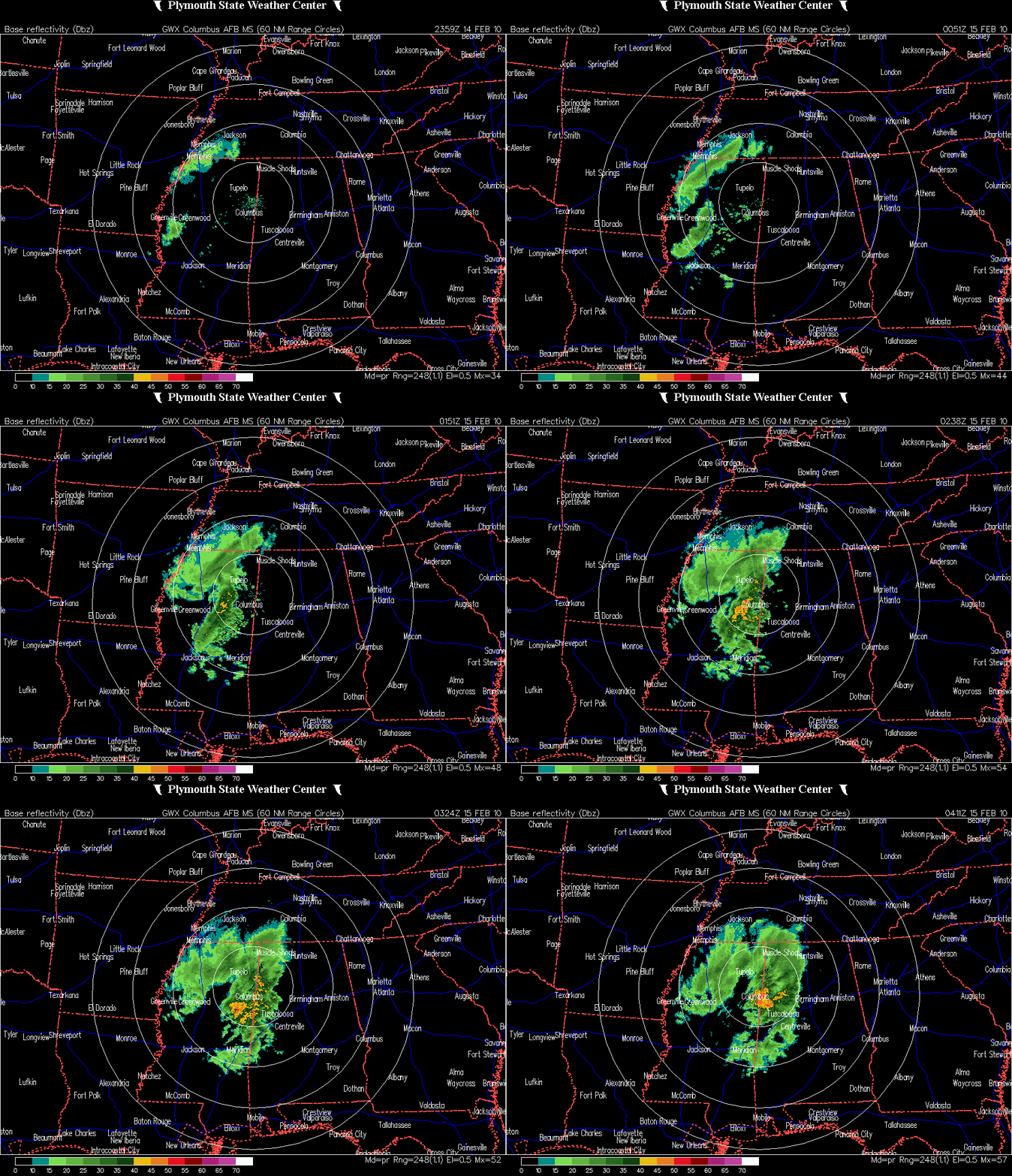
A cold front extends from about Decatur to Livingston right now, and an area of moderate rain is moving through west Alabama ahead of it. This area is all rain; even though temperatures aloft are cold enough for snow, warm air and sunshine today is melting the snow as it comes down. The bright radar returns around the Columbus, MS radar site are due to melting snow aloft.
The melting snow and evaporating rain cool the atmosphere some, and then, once the cold front moves through, the air really cools, dropping to near freezing quickly. This will occur in BHM around 1 or 2 am. Behind the front, you notice another area of precipitation. That one is associated with the upper-level low spinning in southern Missouri, and is a mix then all snow. Back in Mississippi, cold air moving in is partially suppressing any precipitation, while the upper low is producing it. The question is…will the upper low or the cold air win out?
Since most of the precipitation should be over by 7 am in BHM, we have a narrow window of opportunity for snow, between 1 am and 7 am. The models indicate that the southern part of the upper low will intensify some after midnight, increasing the post-frontal precipitation. You can tell on the radar picture that the back edge of the precipitation is increasing somewhat.
It still looks like the highest snow amounts will be over the higher terrain of NE Alabama. But, given the faster speed of the system than anticipated, we may only get 2 or 3 hours of heavy snow in TCL, BHM, and ANB. Instead of 2-3″, we may now be looking at an average of 1″, with higher elevations getting up to 3″. Even still, it is likely that there will be some travel problems in the morning, since roads will have water on them and the air coming in will keep it in the lower 30s through 9 or 10 am.
Weather is not an exact science, and I wish we could tell you more. That is my best guess right now. This system is developing rapidly, and we’ll have to see how things go in Mississippi over the next 2 hours. I still expect some snow in BHM overnight, and it should accumulate at least some. The error margin on the amount is wide.
Category: Uncategorized


