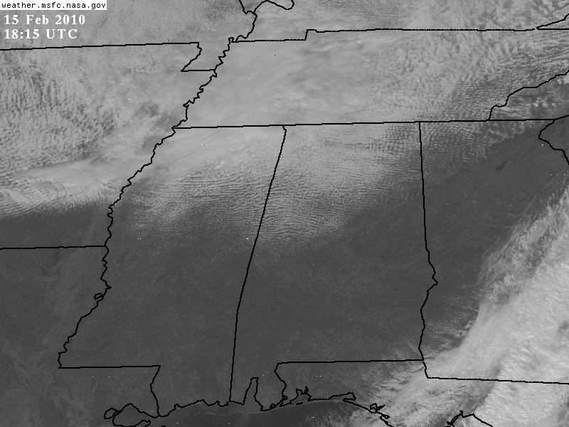
Not a total bust, and more snow anyway?
As far as this morning’s snow forecast, we missed. The cold air moving in was too strong. However, I am still glad we talked about the winter storm, and the NWS issued a warning, since it got everyone’s attention. The roads this morning were very icy. How many people went into work late or avoided the roads because they were checking the weather and the news, when they might not have if there had been no talk of snow?
The radar picture from Memphis shows another area of snow associated with a disturbance rotating around the upper low. Also, on satellite you’ll notice bands in the clouds. Those are convective, meaning they are unstable, like in the summer. Temperatures are very cold above the surface. The disturbance causing the snow in Memphis will move through north Alabama tonight, and I’m wondering, with the unstable air in place over north and central Alabama, could we pick up 1/2″ or more of snow? Models don’t show it, but we’ll see.
Either way, it will stay cold for the next couple of weeks. Below is the NCEP ensemble mean forecast for temperature anomalies (above or below normal) at 4,000 feet, one week from now. We should still be colder than normal by then.
Category: Uncategorized


