12z GFS Stronger, Faster with Invest 91L in the Gulf
The hurricane hunters are about 200 miles north of the disturbance in the southwestern Gulf this afternoon.
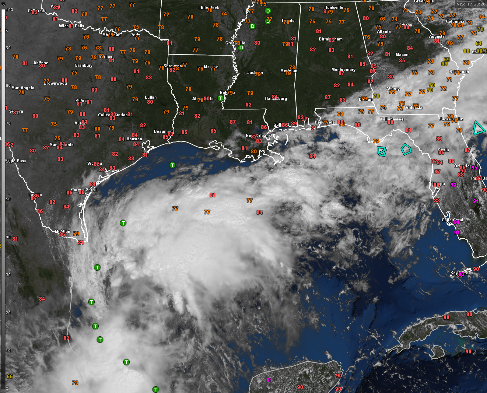
The morning run of the GFS is a little concerning for interests along the Louisiana coast.
It shows the depression organizing off the coast of northeastern Mexico tomorrow afternoon and quickly becoming a tropical storm on Tuesday.
It slowly moves northward just offshore and turns northeastward on Tuesday night, becoming a hurricane after midnight. It strengthens it to about a 105 mph hurricane, or category 2, by Wednesday night.
It comes ashore Wednesday evening near Pecan Island or Marsh Island, south and southwest of New Iberia.
The center of the weakening system gets cut off from the flow and meanders up the Mississippi River on Thursday.
Rain will move into Central Alabama late Wednesday night and Thursday looks wet with rain and storms.
Winds will become gusty Wednesday across Alabama, gusting to 20-25 mph. By Thursday, they may gust as high as 35-40 mph.
Rip currents will start increasing along Gulf beaches on Tuesday and continue through the week ahead.
The NHC will like initiate advisories on the system at 4 p.m. this afternoon, likely as a Potential Tropical Cyclone.
Category: Alabama's Weather, ALL POSTS, Tropical
About the Author (Author Profile)
Bill Murray is the President of The Weather Factory. He is the site's official weather historian and a weekend forecaster. He also anchors the site's severe weather coverage. Bill Murray is the proud holder of National Weather Association Digital Seal #0001 @wxhistorianSubscribe
If you enjoyed this article, subscribe to receive more just like it.


