A Few Notes Before the Advisory
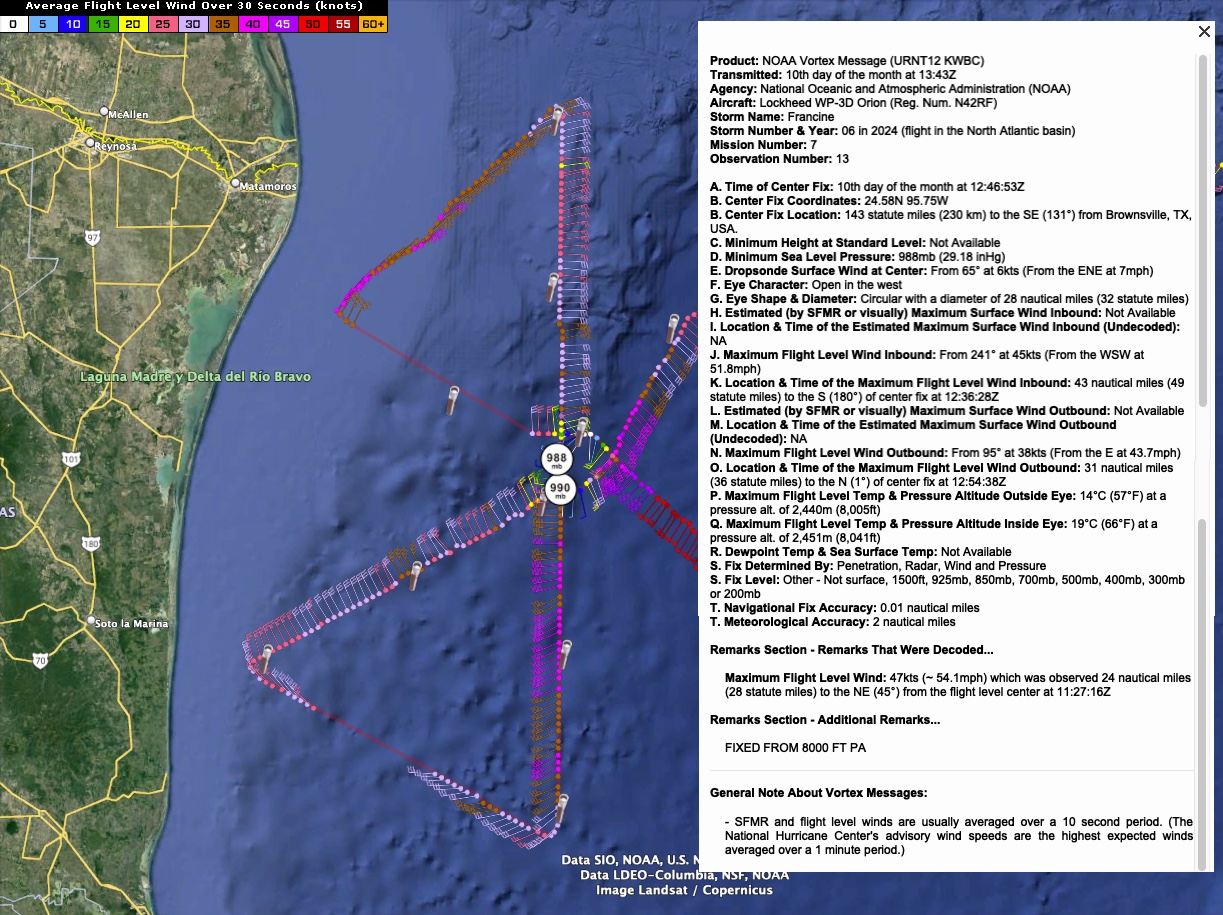
NOAA Hurricane Hunters found a minimum surface pressure of 988 mb on this last pass. Eye is 32 miles in diameter and open to the west. They found a large around of 50+ knot flight level winds to the southeast of the center as they exited. Peak winds found were 57 knots at flight level and 58 knots at surface.
Satellite substantially more convection around the center and improved upper level ventilation indicating a stronger system.
Morning model guidance has shifted a little east. Will be interesting to see if NHC adjusts their official track. This could increase wind impacts and surge issues for Southeast Louisiana, including Hammond, the Northshore, and New Orleans.
The new complete advisory will be issued a little before 10 a.m.
About the Author (Author Profile)
Bill Murray is the President of The Weather Factory. He is the site's official weather historian and a weekend forecaster. He also anchors the site's severe weather coverage. Bill Murray is the proud holder of National Weather Association Digital Seal #0001 @wxhistorianSubscribe
If you enjoyed this article, subscribe to receive more just like it.


