An Updated Look at Helene’s Impacts on Alabama
With Helene set to make landfall in the Big Bend Region of Florida later today, we wanted to give you an updated idea of what to expect here in Alabama. We should see most of the major impacts stay to the east of us, but we will definitely feel Helene’s impact as the storm moves inland.
Wind:
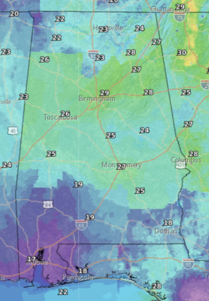
Wind speeds will range from 10-20 mph across the entire state, with wind gusts being upwards of 30 mph at times. Areas to the east of I-65 will be on the higher side of these speeds. Make sure that you secure any loose objects you may have outside, as these windy conditions are expected to be present for close to 24 hours starting later today.

Map Showing Expected Wind Gusts Tomorrow Morning
Rain:
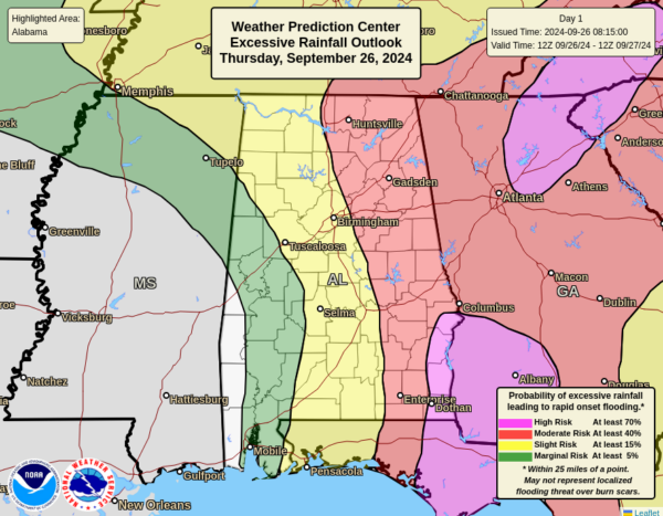
We will see a lot of rainfall come from this system, with most areas to the east of I-65 seeing up to 4-6 inches of rain. Auburn, AL could see close to 10 inches! This is a lot of rain to fall in a short amount of time, so please be prepared for flash flooding to occur. Areas in the western part of the state likely will not see as much rain, if any at all.

Map Showing Risk of Rainfall Leading to Flash Flooding
Severe Weather/Tornadoes:
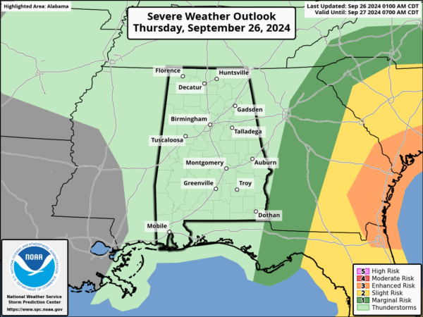
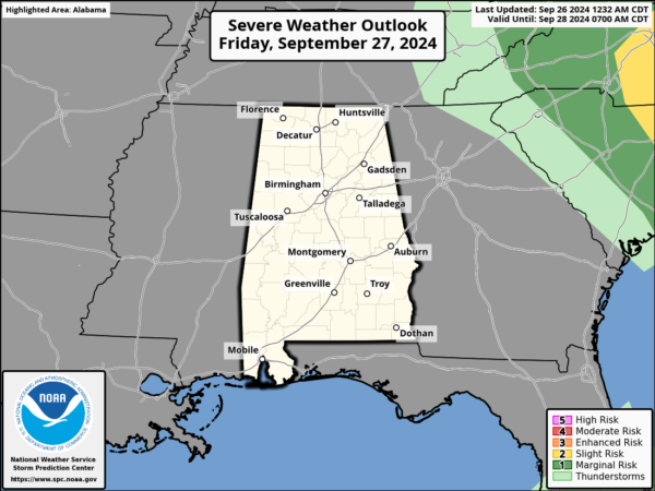
Luckily, Alabama will not see much when it comes to severe weather. As of right now, we are not expecting to see tornadoes in the state, as many of these severe storms will stay to our east. However, forecasts can change at any time. We cannot completely rule out an isolated tornado, so make sure to stay up to date on current risks.
Category: Alabama's Weather, ALL POSTS, Social Media


