Early morning update
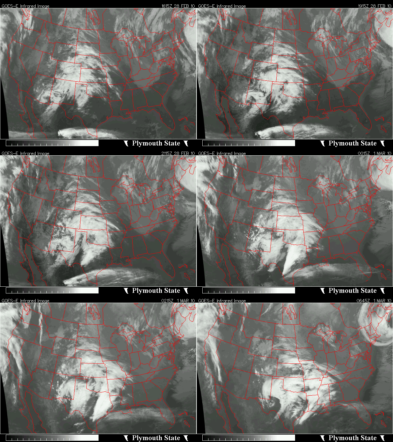
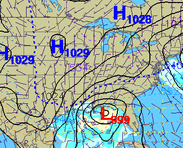
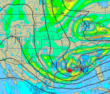
If you’re just now joining us, this is one of the most difficult forecasts we’ve seen in a while. An upper-level system will move out of Texas today and help develop a low pressure area in the northern Gulf. This low will be in the Florida panhandle by midnight tonight, and likely strengthen as it moves northeast. And, temperatures at 850 mb (the “critical level”, near 4,000 feet, that typically is the rain/snow line) are below freezing. As an old friend said, “a storm to be proud of.” But, despite the almost perfect dynamic setup for snow, there are some obstacles that could limit, or even prevent, significant accumulation of snow in Alabama.
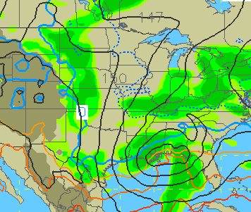
All 5 of the models we often look at, the GFS, NAM, Canadian, European, and UKMET show an area of precipitation moving across central and south Alabama tonight and tomorrow. One thing that makes the forecast difficult is precipitation amount. There will be large differences in precipitation totals over short distances from north-to-south with this storm…one spot along I-65 will get 0.5″ of liquid equivalent precipitation, while another spot 50 miles up the road could get almost nothing. The GFS says BHM will get about 6″ of snow, and the NAM says we will get none. The exact track of a low is hard to pin down even this close to the event, and yet with this one it is very important.
The other challenge is the low-level temperature field. It will be cold enough aloft at Birmingham, Tuscaloosa, and Anniston for the precipitation to fall as snow, at least aloft. However, the models indicate that temperatures will climb to near 50 today, and the melting of the falling snow (causes cooling) will not be enough to overcome the warm temperatures we build up today. The heavier the precipitation, the colder.
The bottom line is that confidence in the forecast is still low for an event only 24 hours away. However, rain is already moving across Texas, and high clouds are moving into Alabama this morning. The key thing may be amount of sunshine and warming today. If it stays below 45, snow becomes more likely. It appears to me that it will be difficult for there to be no precipitation in BHM, or even in Cullman, with a system of this strength. So, rain will likely begin tonight, and slowly mix with and change over to snow by Tuesday morning. If the sun comes out for several hours and it gets warm today, it will look pretty falling, but melt quickly and probably not even accumulate, except maybe in higher elevations. If it stays cold today, there could be a band between Birmingham and Clanton where up to 3″ of snow falls.
Category: Uncategorized


