Sunday Update: Front Across Central Alabama
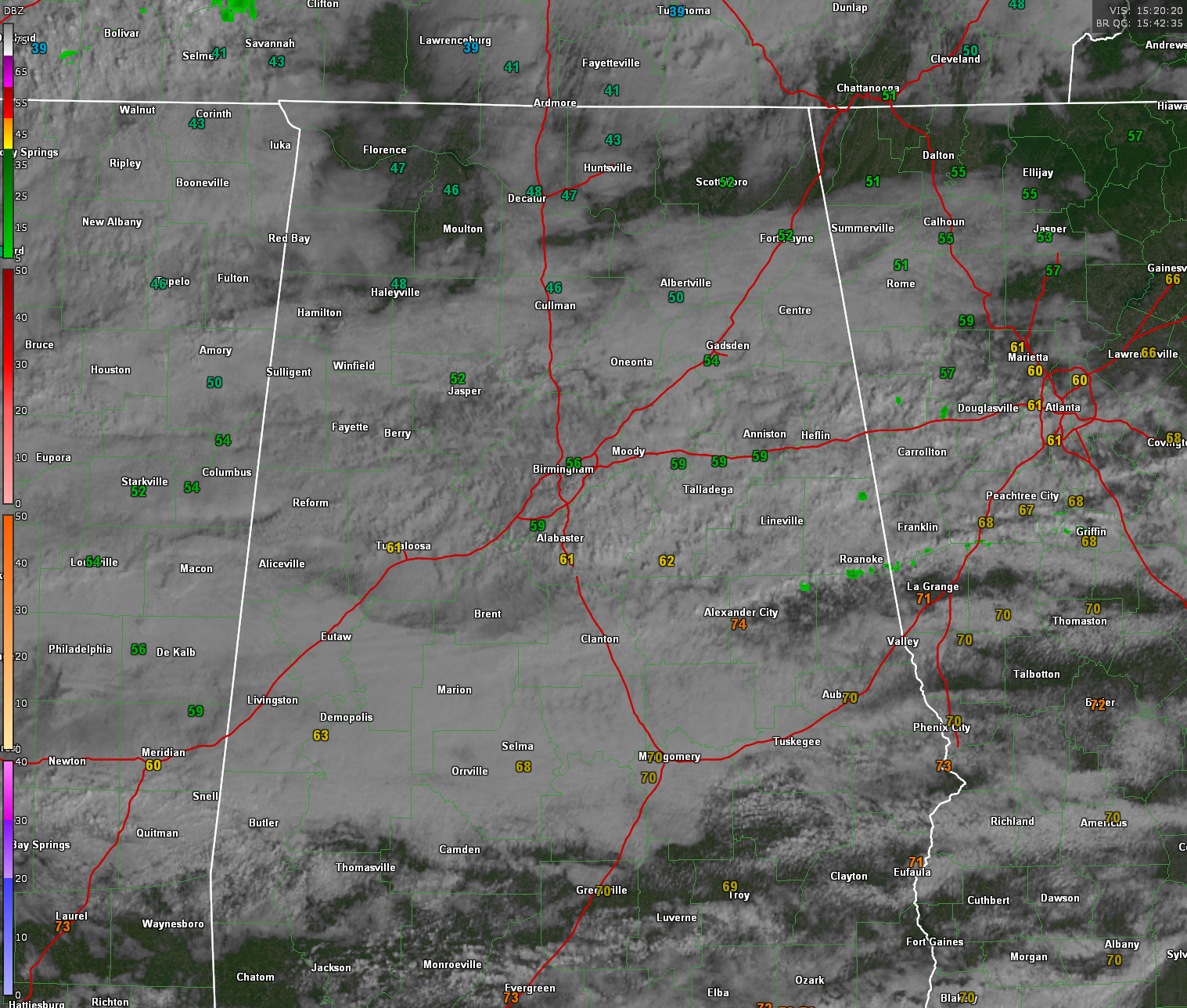
A cold front has moved into Central Alabama, bringing cooler air and diminishing rain chances for today. Clouds will linger, but most areas will remain dry with highs in the 50s north of I-20 and 60s to low 70s farther south.
LOOKING AHEAD: A WET WEEK AHEAD
The front will lift back north Monday night, setting the stage for a prolonged period of moderate to heavy rain from Tuesday through Thursday. Rainfall totals of 2-4 inches are expected, with the heaviest amounts along and north of I-20. Some localized flooding is possible, particularly near the Tombigbee and Black Warrior River basins, where there is a chance of minor flooding.
STORM CHANCES AND TEMPERATURE TRENDS
Persistent southerly flow will keep temperatures warm through midweek, with highs in the 60s and 70s. Some thunderstorms are possible, especially Wednesday night, but severe weather risk remains low for now. Behind this system, colder and drier air arrives late Thursday into Friday, bringing lows into the upper 20s and 30s.
BEYOND THURSDAY: MORE RAIN ON THE WAY?
Models suggest another strong system may impact the region next weekend, with more rain and increasing concerns for additional flooding.
Category: Alabama's Weather, ALL POSTS, Social Media
About the Author (Author Profile)
Bill Murray is the President of The Weather Factory. He is the site's official weather historian and a weekend forecaster. He also anchors the site's severe weather coverage. Bill Murray is the proud holder of National Weather Association Digital Seal #0001 @wxhistorianSubscribe
If you enjoyed this article, subscribe to receive more just like it.


