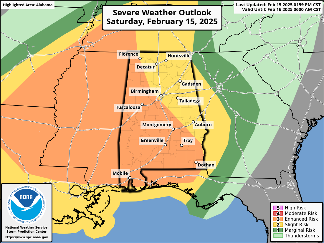
Severe Weather Update: Much of the State in Level 3/5 Risk
The latest update from the Storm Prediction Center keeps much of the state in the “enhanced” risk. Areas in the northeast parts of the state remain in the “slight” risk.
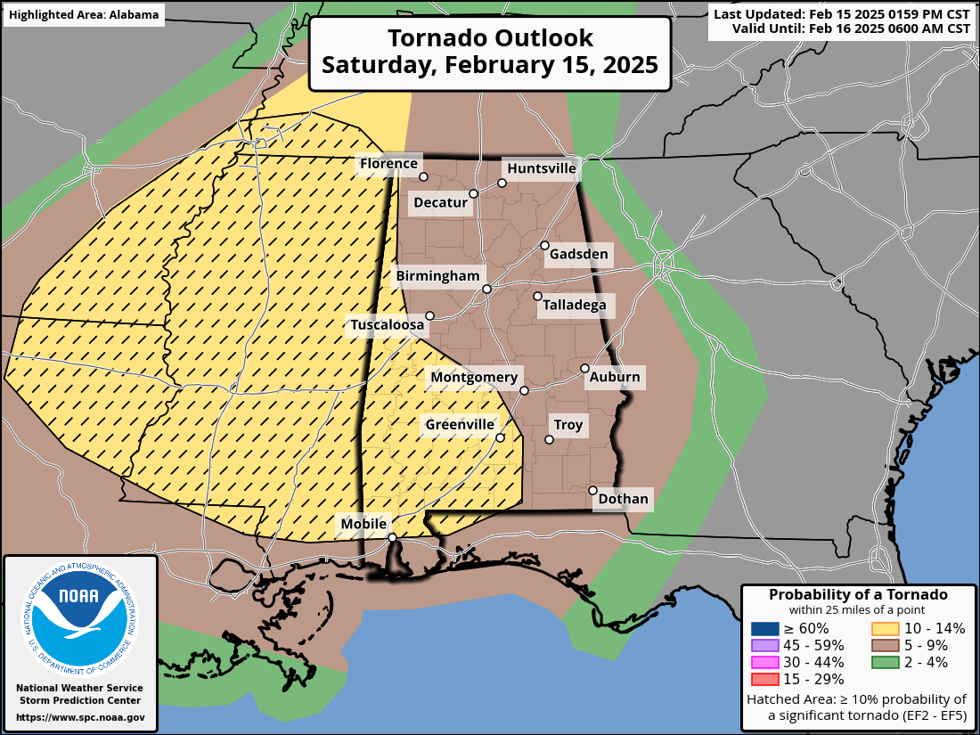
Here are the newest SPC graphics:
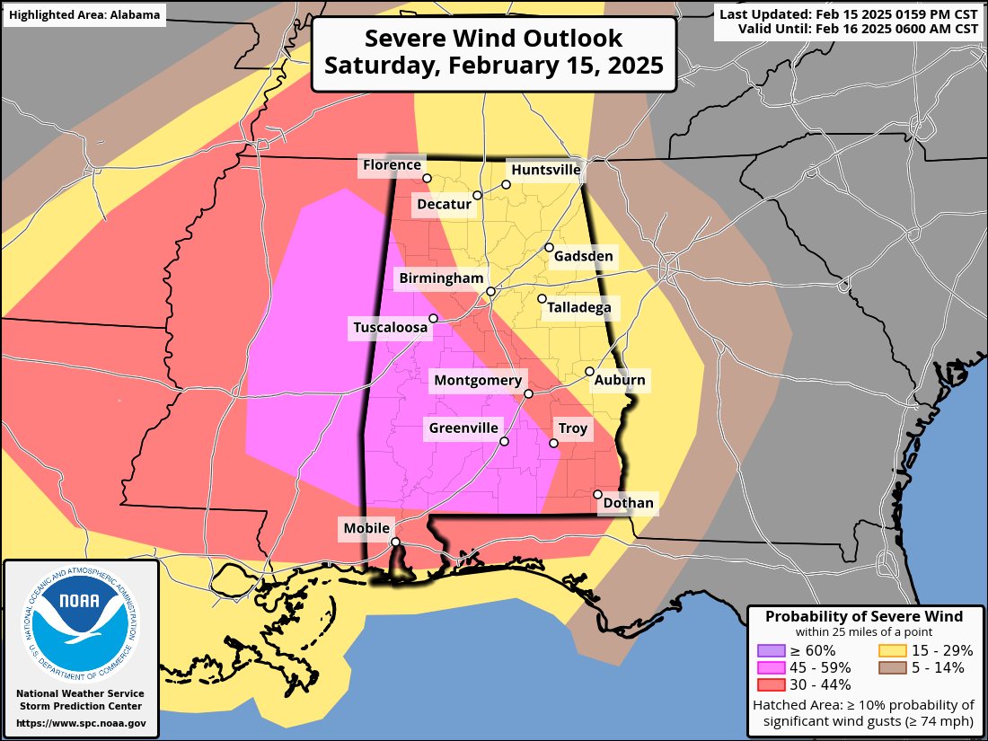
The largest threat for Alabama is damaging wind gusts. The southwestern portion of the state has a 45% chance of severe winds.
The tornado threat for the state will decrease as the night progresses. This means that the slower the main line of storms moves, the lesser the potential for severe weather. Of course, however, we must remain vigilant throughout the night until the main line completely leaves our area.
The entire atmosphere over the Southeast is ripe with warm, moist air. Dewpoints right now over the state are in the mid to upper 60s, meaning there are large pockets of moisture present. Working in our favor, though, is the fact that the sun has been able to peak through the clouds much today. This has not allowed too much additional instability to build.
Stay tuned throughout the next several hours as we continue to pay close attention to this event.
Category: Alabama's Weather, ALL POSTS, Severe Weather, Social Media
About the Author (Author Profile)
Scott is a senior at Mississippi State University studying professional and broadcast meteorology.Subscribe
If you enjoyed this article, subscribe to receive more just like it.


