Light snow in Alabama
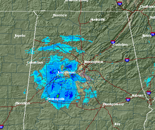
A strong upper low, centered in eastern Mississippi, continues to move very slowly eastward. It is producing some light precipitation in parts of Alabama, mainly west of I-65, early this morning. Some reports include: light snow in Hoover, Haleyville, Crestwood, and Franklin County, and sleet in Roebuck. Ground temperatures are warm, and the snow is having a hard time accumulating, but during brief heavy periods of snow or sleet, it may cover grassy areas or cars for a little while.
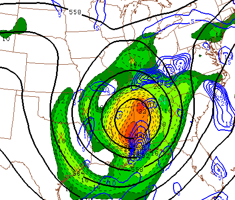
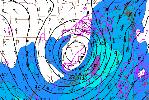
Temperatures are plenty cold enough for all precipitation to be frozen when it falls…it is currently 19 degrees at 4,000 feet off the surface, and 37 at the surface. Temperatures are extremely cold aloft, as low as -20 at 18,000 feet. This is creating some instability across Alabama this morning, similar to the rapid decrease in temperature with height in summer when it gets hot. Also, as shown below, an upper-level distrbance is rotating around the upper low into Alabama, and a jet is moving through south Georgia. This will allow some lift of the air over Alabama this morning, so we may continue to see light snow at times for a few hours.
The snow may even be heavy enough to whiten grassy surfaces, shrubbery, decks, or cars at times this morning, but the snow should melt off quickly with the warm ground and air temperatures above freezing. No widespread travel problems are anticipated now.
For your meteorological consulting needs, call Coleman and Peters, LLC at (205) 568-4401. We assist with weather-related insurance claims, litigation, and expert testimony. Visit our website at www.colemanpetersllc.com.
Category: Winter Weather


