Easter Brunch Update: Hazy Skies and Summerlike Warmth
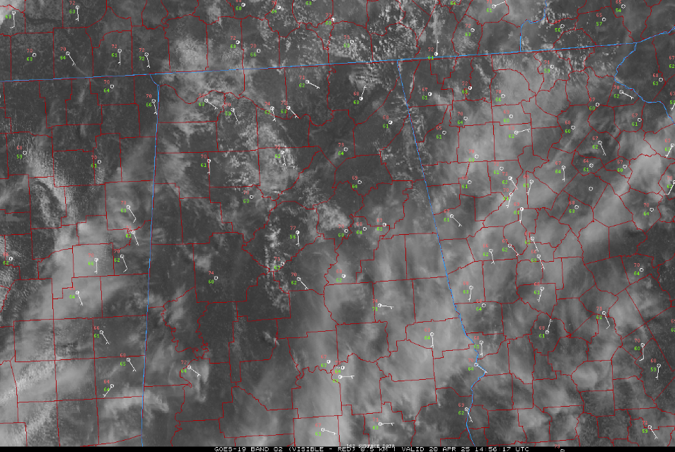
It feels much more like mid-May than late April this Easter Sunday across Alabama. Temperatures at midday are climbing into the mid and upper 70s in the north and low to mid 80s in central and southern parts of the state. Skies are partly cloudy statewide, but visibility is a bit reduced in some areas due to a light haze—adding to the warm, humid, almost summery feel outdoors.
Winds are from the south to southeast at 5 to 15 mph, occasionally gusting higher. Dewpoints are creeping up as well, ranging from the low to mid 60s, helping fuel the muggy sensation.
No rain is expected this afternoon, but changes are coming. A weakening cold front will approach from the west tonight and into Monday, bringing increasing clouds and a better chance of showers and a few thunderstorms—mainly by Monday afternoon. While no widespread severe weather is expected, a few strong storms with gusty winds and locally heavy rain can’t be ruled out.
The warm and unsettled pattern will persist into the work week, with daily chances of scattered showers and storms and highs continuing to run well above average.
If you’re enjoying Easter festivities outside today, stay hydrated and don’t be surprised if it feels a bit more like summer than spring.
Category: Alabama's Weather, ALL POSTS, Social Media
About the Author (Author Profile)
Bill Murray is the President of The Weather Factory. He is the site's official weather historian and a weekend forecaster. He also anchors the site's severe weather coverage. Bill Murray is the proud holder of National Weather Association Digital Seal #0001 @wxhistorianSubscribe
If you enjoyed this article, subscribe to receive more just like it.


