Beautiful Saturday…Strong Storms Sunday Afternoon?
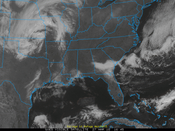
It doesn’t get much better than this in Central Alabama.
Lots of blue skies and mild temperatures.
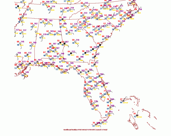
Readings are in the 60s right now heading for highs around or just a little above 70F across Central Alabama.
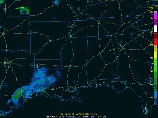
Regional radars still mainly free of precipitation to the west. This will be changing.
Surface low is over northern Oklahoma early this afternoon. It will move to near Southeast Missouri by Sunday morning. Showers and a few storms will enter Northwest Alabama late tonight and linger into the morning hours. Sunshine should break out around lunchtime and there could be enough warming to produce sufficient instability especially east of I-65 to allow for afternoon storms.
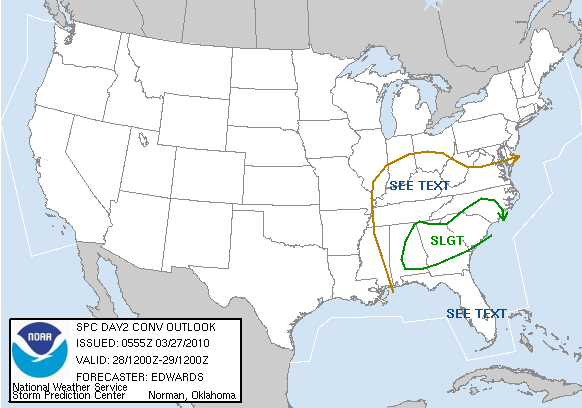
If that happens, there could be sufficient spin in the atmosphere to result in a few severe storms over eastern sections. There is even a chance of isolated tornadoes. The SPC has areas along and east of I-65 in an enhanced threat area for Sunday. This Day 2 outlook will be updated around 12:30 p.m.
We will be monitoring the situation and keeping you updated through the weekend.
Category: Uncategorized


