Round 2 of storms on the way tomorrow
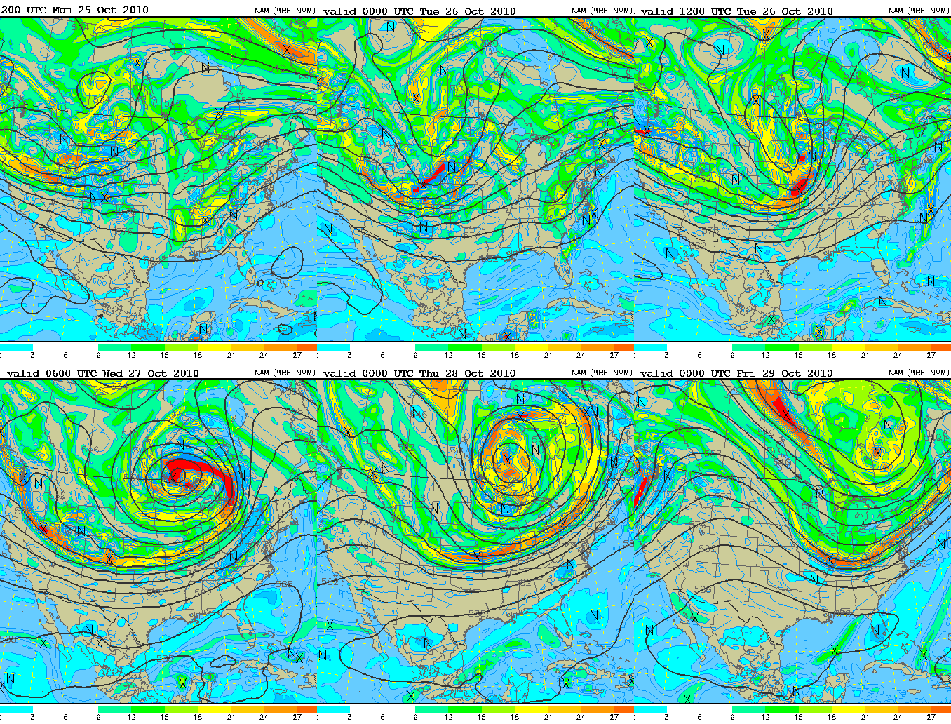
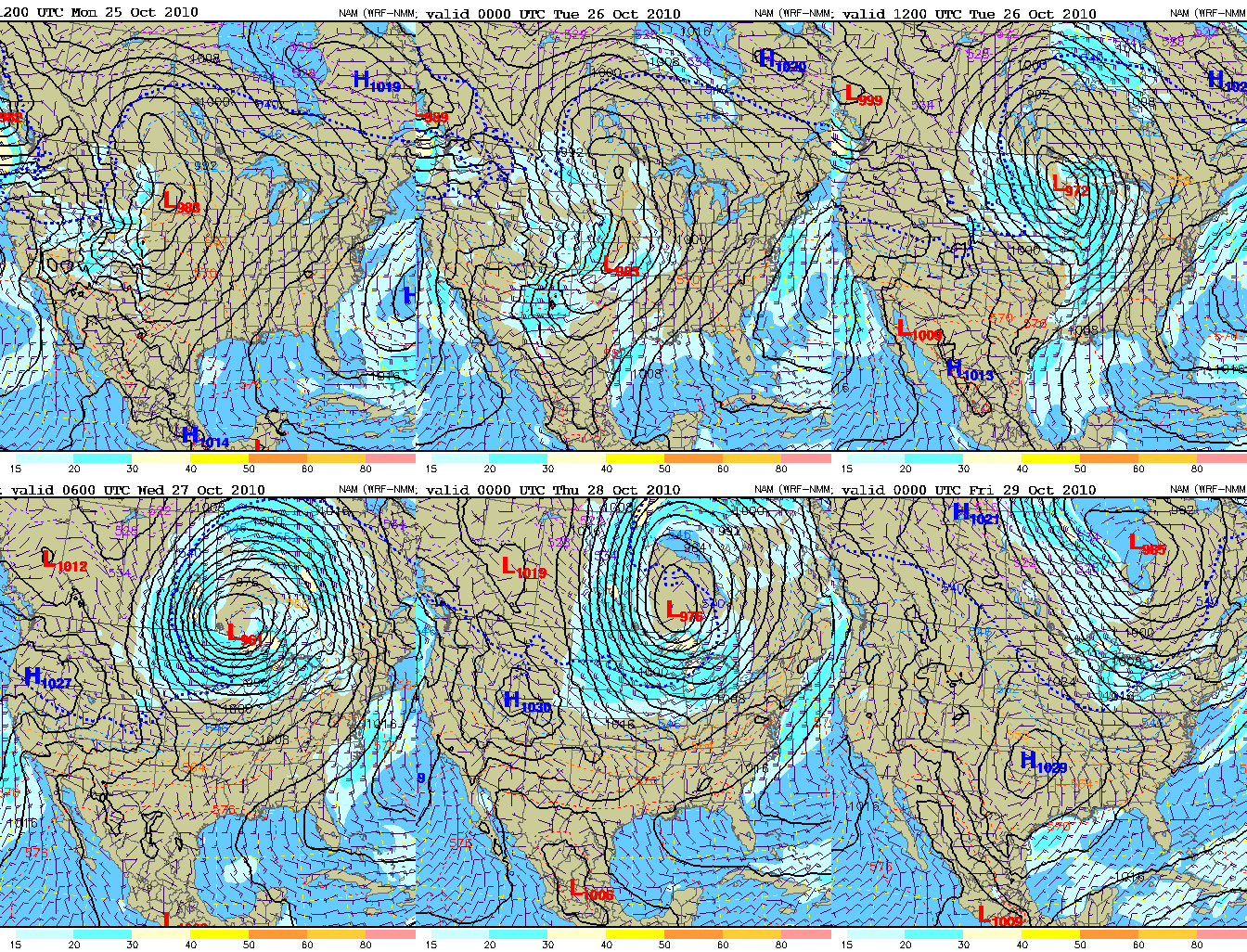
After a solid rain event last night, some damaging hail reports, and some wind damage (maybe even a couple of tornadoes, NWS is checking it today), we’ll have another round of thunderstorms tomorrow. The charts below show the model forecast upper-level flow (top) and surface pressure and flow (bottom) for the next three days. The large upper level and surface low to our north will finally start moving, causing significant storms all the way from the Great Lakes to the Gulf Coast tomorrow and tomorrow night, and the cold front will finally come through Alabama Wednesday night.
During the day tomorrow, with strong southerly flow bringing moisture right back in here, and a little sunshine, the air will become unstable, with CAPE above 2,000 J/kg by afternoon. The strongest dynamics will be over north Alabama, Tennessee, and farther north, closer to the low. However, there will be plenty of wind shear this far south, with helicity above 250 m2/s2.
The biggest question may be a “trigger” to cause thunderstorms to occur. We won’t have the warm air moving in like last night, so we probably won’t get as many scattered storms out ahead of the main line. But, there will still be a few, and any of those could produce damaging wind, hail, and even isolated tornadoes. The main event will probably come in tomorrow night.
The big threat for tornadoes looks like it will stay to our north, mainly over TN and KY. But, we’ll have to watch this event closely.
Once the cold front moves through, expect much colder temperatures Thursday and Friday, with highs only in the 60s (wind will make it feel cooler), and lows dropping to near freezing in some spots by Saturday morning. Friday night football will be cold this week.
Category: Uncategorized


