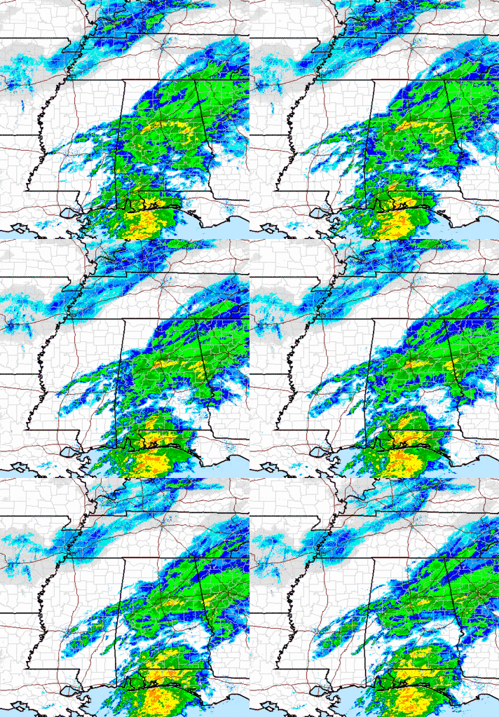
Wow! And it may snow more tonight and tomorrow morning!
The first White Christmas in BHM history. This is great! Weather guys can act like little boys, too! I was offline and had not looked at any models since 12Z Thursday, when all except the European showed a dusting or maybe nothing. We’ll all put more stock in the European model the rest of this winter!
Looking at today’s situation, the southern stream storm came through and is producing a historic snowfall over northern and central Alabama, that will likely make it into south Alabama this afternoon. The solid area of snow will move east of the BHM metro over the next couple of hours.
However, as happened back on December 13, (see https://www.alabamawx.com/?p=37631), once the main area of snow moves out of here late this afternoon, a new surge of very cold air will come in. It will drop below freezing late this afternoon, so TRAVEL PROBLEMS ARE LIKELY, especially on bridges. Winds will pick up tonight and tomorrow, producing wind chills in the teens.
And, with temperatures being very cold at 5,000 ft., the air will be unstable (temperature decreases rapidly with height) (like in the summertime), and scattered snow showers (like summer thunderstorms) will start to develop late this afternoon and continue into tomorrow morning. These will be on and off, maybe with sun in between, but may produce another 1/2″ of snow in some places, and will be beautiful to look at, and pretty on radar and satellite.
So, even once it quits snowing at your house this afternoon, you may get under a heavy snow shower tonight or tomorrow morning!
Merry Christmas!
Category: Winter Weather


