Under the Radar
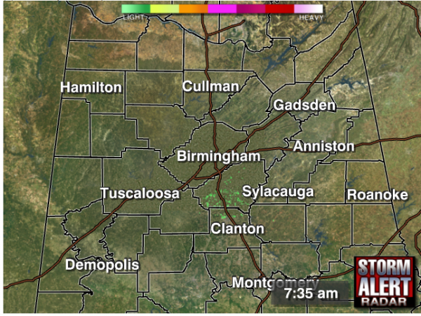
Snow flurries are sneaking in under the radar again this morning. We had a number of reports of flurries/snow showers that added a small accumulation on top of snow & ice already on the ground in northern Alabama, and it’s doing it again! Here’s the radar as of 7:35 AM:
As of 7:40, we have reports of snow accumulating on roads in Eva in Morgan County, snow flurries in Vinemont, Holly Pond, Altoona, Madison, Decatur, Jones Chapel, and Hanceville.
The precipitation is forming in the lowest 2,000 feet of the atmosphere, which for most of these areas is well below the radar beam’s height. We can see some flurries on radar near the Huntsville-Madison County area, as well as Jackson and DeKalb, but on days like this, we need your reports so we can know what is going on beneath the beam!
The quickest way to let us know about something is by commenting here or Tweeting the info with the hashtag #alwx. We are also interested in hearing how the roads are in your community, especially if they are icy or you have seen some black ice.
-Jason
Follow me on Twitter: @simpson3340
Category: Alabama's Weather, Winter Weather


