Ice Update – 1238 pm
…FREEZING RAIN ADVISORY…
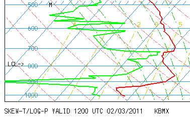
Here is why we’re concerned about ice and not snow. Surface temperatures are around 30 degrees over central Alabama, and the ground is cold. Aloft, temperatures are above freezing. Here is the balloon data from NWS Calera.
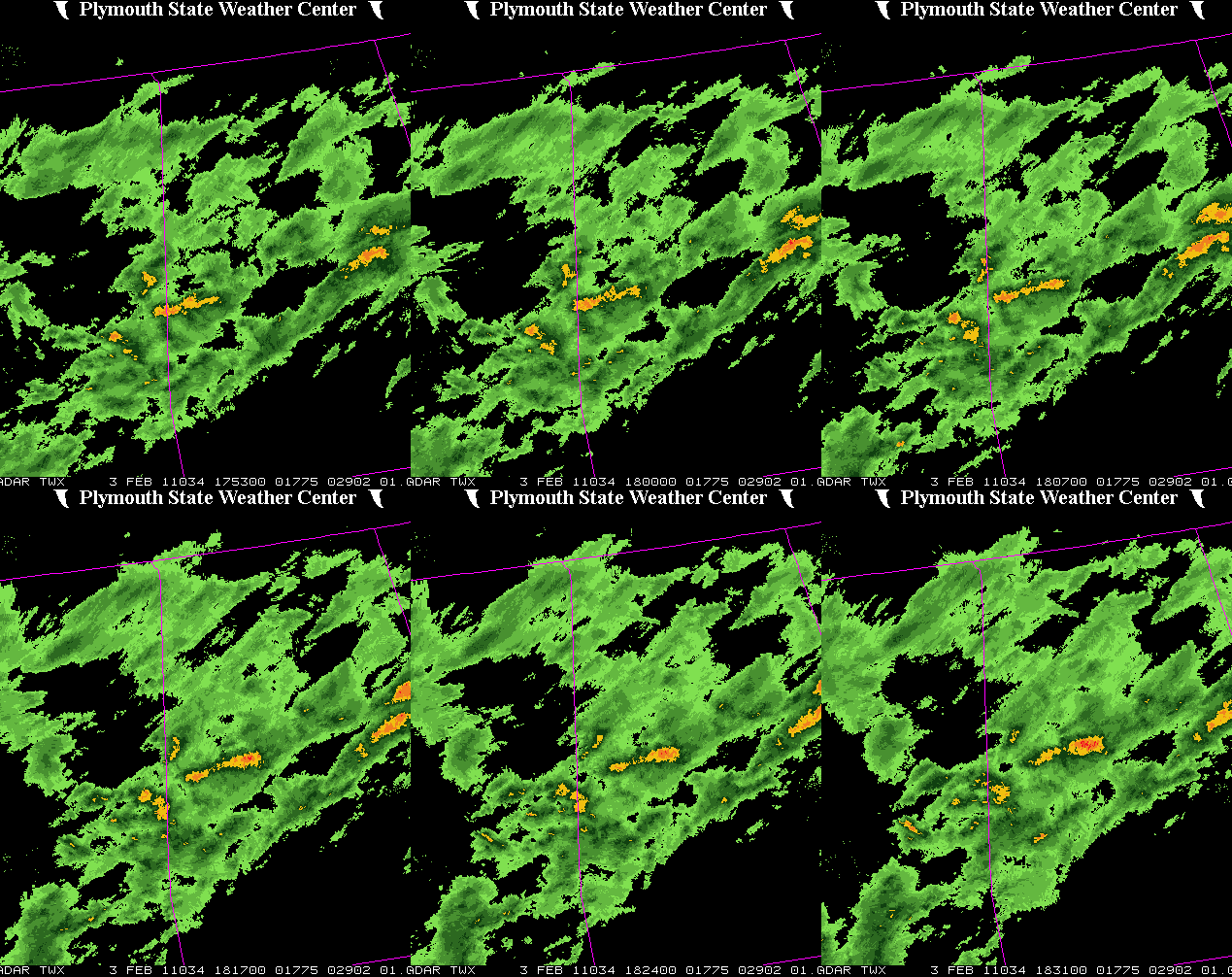
Temperatures at 850 mb (5,000 feet) are way above freezing (actually in the 40s). This is causing most of the snow to melt aloft, and fall as either rain or sleet. Sleet we can deal with better, but any that falls as freezing rain will begin to accumulate as ice on surfaces, especially bridges, etc. And the sleet is mixing with rain in parts of the BHM metro right now.
Light icing will occur in some spots this afternoon, causing road icing. WE ALREADY HAVE REPORTS OF ROAD ICING IN PARTS OF BIBB AND LAMAR COUNTIES. So, people may want to consider going home early, before this gets bad in some spots. We are not expecting a major ice storm, since the very warm temperatures aloft will cause warm raindrops, and those will eventually bring temperatures above freezing late tonight. But, between now and midnight, scattered ice accumulations will be an increasing problem.
Category: Alabama's Weather


