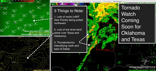
Tornado Watch Soon for Oklahoma and Texas

Click the above image for expanded view.
We are monitoring a developing severe weather situation across the Southern Plains this morning that will move into Arkansas, Louisiana, Mississippi, Tennessee and Alabama later today and tonight.
The SPC warns they will have to issue a tornado watch shortly for parts of Oklahoma and Texas where developing thunderstorms will move into an area of strong low level wind shear ahead of an intensifying surface low over southern Oklahoma and northern Texas.
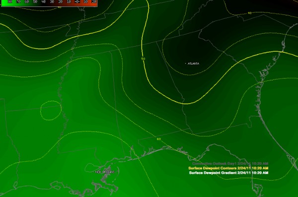
Warm, moist air is being transported northward into the region. 60+ dew points extend now into southern Arkansas, much of Mississippi and southwestern Alabama.
Strong winds will develop across Alabama as we go through the day, averaging 10-20 mph and gusting to near 30 mph at times. The NWS has posted a wind advisory for Central Alabama.
A line of strong to severe thunderstorms will push into Alabama late tonight. There will be a definite possibility of damaging winds with the added possibility of isolated tornadoes.
Be able to receive weather alerts tonight (good time to make sure that NOAA Weatheradio is working) and stay tuned to ABC 33/40 and the AlabamaWX.com blog for the latest updates throughout the day and overnight.
Category: Alabama's Weather, Severe Weather


