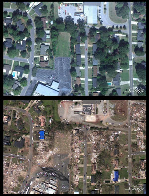
Before/after aerial photography
(NOAA)
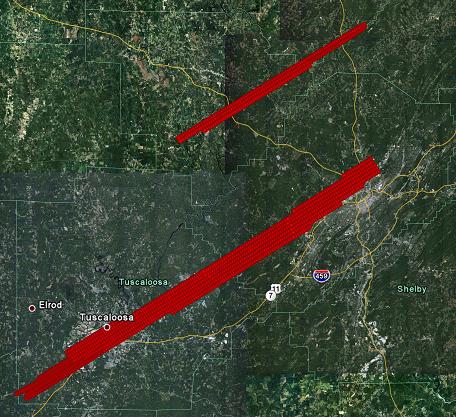
James asked me to post on this. The NOAA King Air plane is flying the tracks of the BHM-TCL tornado and the Cordova tornado today, providing high-resolution before and after pictures of the tornado damage, similar to what they did after Hurricane Katrina. Here is a map of their preliminary flight plan.
For 4 early before/after photos, go to https://www.noaanews.noaa.gov/stories2011/pdfs/tuscaloosa_before_after.pdf
Hopefully, they will post before and after photos in every box along these paths over the next few days.
Please read James’ post below about the needs in so many areas, especially more rural areas where there has not been as much media attention, and how you can help. This is north Alabama’s Katrina.
NOAA
Category: Alabama's Weather


