Strong Storms Will Enter West Alabama Shortly
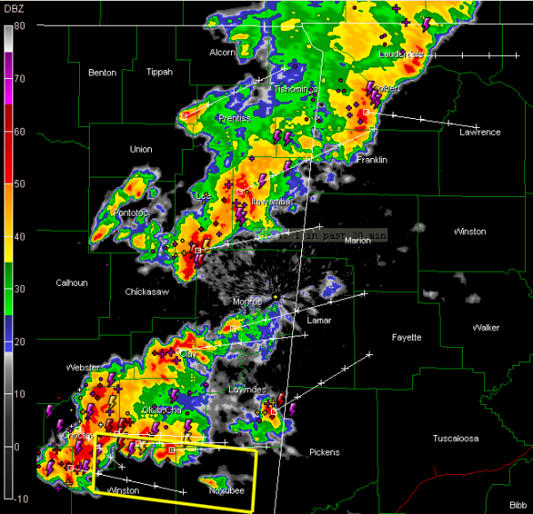
Strong storms over eastern Mississippi will be into western Alabama’s Marion, Lamar and Pickens Counties within the hour.
Others are over Northeastern Alabama already.
So far, the storms have not produced many reports of severe weather over eastern Mississippi. There is a severe thunderstorm warning now for counties to the west of Pickens County.
The storms are producing tremendous lightning however. Hail and strong winds will be possible with the stronger storms.
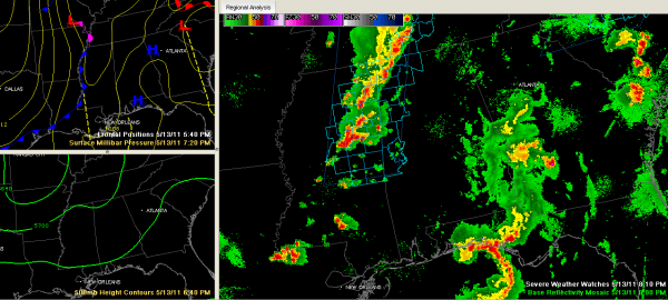
A severe thunderstorm watch remains in effect for West and Northwest Alabama until 1 a.m.
The storms may prompt a couple of severe thunderstorm warnings over West Alabama, mainly within the severe thunderstorm watch area this evening but they should weaken as they move slowly wast ahead of a cold front that is near the Mississippi River this evening. The storms should be east of I-65 by 3-4 a.m. and will be into Georgia by mid-morning.
There will be some clearing in the morning behind the main shower activity, but low clouds will fill back into from the west and persist until they start breaking up around mid-afternoon. Highs tomorrow will range from 70F-78F from northwest to southeast across Central Alabama.
Category: Alabama's Weather


