Some Active Storms Today
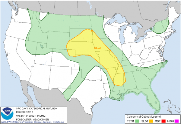
The Storm Prediction Center has added part of western Alabama and most of north and central Mississippi to the *SLIGHT* risk on the new Day One Severe Weather Outlook:
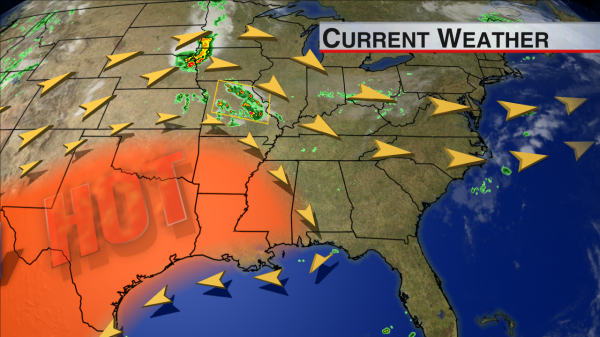
Numerous strong and severe storms developed in the wee hours of the morning in Mid-Missouri, and some of those dropped some large hail east of Columbia after sunrise. New storms have already fired up in southern Missouri and parts of Kansas, and as the day wears on, these should form into a large convective system called an MCS (mesoscale convective system). These MCS’s can last for as much as 12 to 18 hours and travel hundreds of miles before they run out of steam. And all along the way, they can produce damaging winds, hail, torrential downpours, and frequent lightning.
An MCS like the one expected today usually follows the edge of a strong ridge where it feeds on very hot low-level air and benefits from slightly cooler air aloft. The most favorable spot for storms today is west of I-65, but that does not completely exclude the eastern half of the state.
This ridge will strengthen and expand eastward tomorrow and Wednesday, so the storms will likely be shunted off to the east for a few days, but by Thursday and Friday, it will weaken again allowing for a better shot at an MCS or just scattered afternoon thunderstorms.
-Jason
Follow me on Twitter: @simpson3340
On Facebook: Jason Michael Simpson
Category: Alabama's Weather, Severe Weather


