Nice view from ground and from space
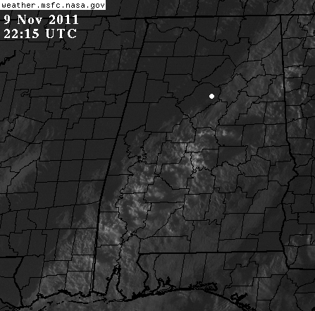
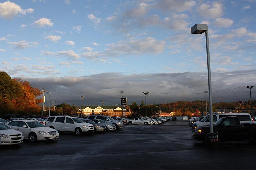
This visible satellite picture was taken at 415 pm CST, around the time Chad Gardner of Courtesy Buick (white spot above) sent in this photo, looking SE…
This is the leading edge of the dryline/cold front moving through. This is one of those fronts where temperature does not drop immediately, but the cold air will come in slowly over the next 12 hours. You’ll feel it tomorrow!
Category: Alabama's Weather, Met 101/Weather History


