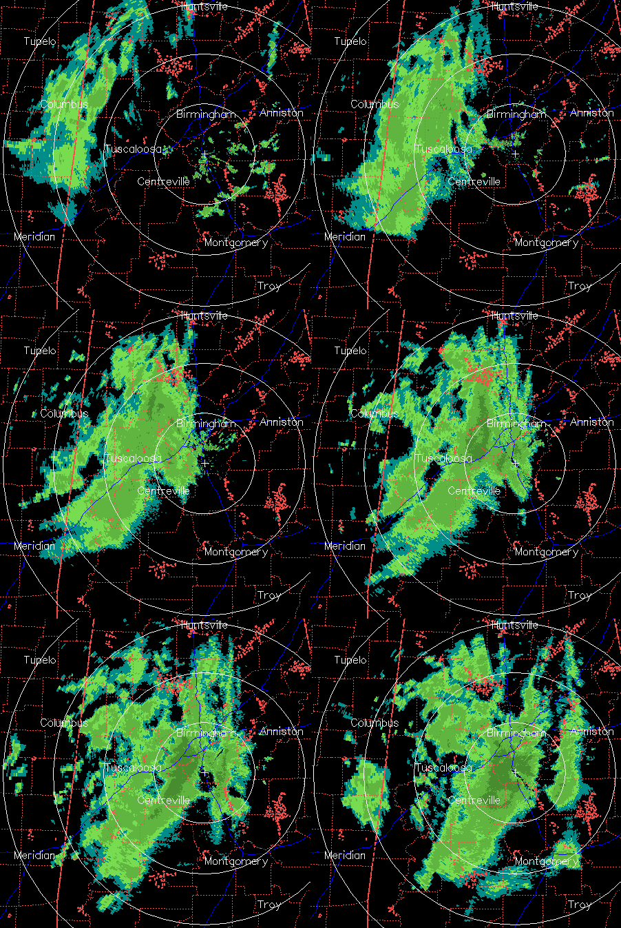
Snow analysis 350 am
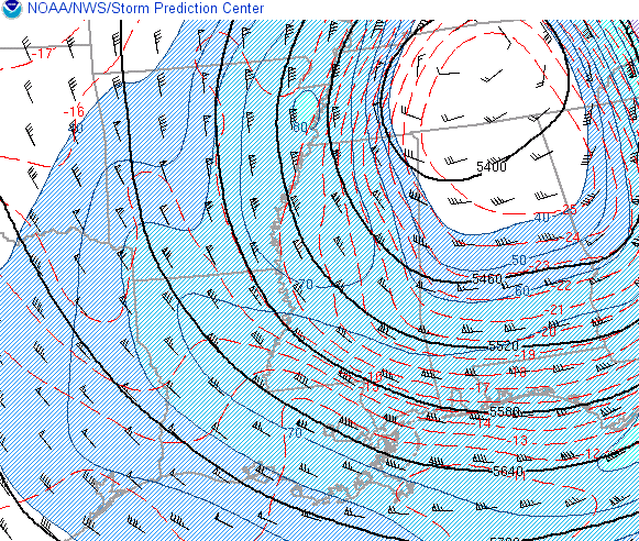
This is about as complicated as atmospheric dynamics and thermodynamics can get. A cold core low is centered north of Huntsville this morning, and a batch of light precipitation has been moving across northern Alabama the past 2 hours. Most of this has fallen as rain southeast of Cullman, and snow NW of there (it started snowing in NW Alabama 12 hours ago). Some snow has mixed in around BHM, but it has mainly been rain, despite the fact that UAH MPR data and model analysis indicates that the 850 mb temperature is -5 C, and the freezing level is only about 100-200 feet above the ground! When the precip gets heavier, it tends to bring down more cold air with it and takes longer to melt, meaning snow. But, so far, surface temperatures have held above 35 in BHM, with colder readings (and a little more snow) at higher elevations (Red Mtn, Oak Mtn, Shades Mtn, and mountains of north Alabama).
It has been surprising to me that we have not seen more snow in BHM with that much cold air just above the ground. Apparently so far, the heat being released from the ground (highs in the 70s past 2 weeks) has overpowered cold air coming in from the NW and from above (in raindrops and snowflakes). If this exact system came through in February, we might have 1-2″ of snow by now.
As for rest of day, temperatures will likely remain between 35 and 40 in central Alabama. A few of the higher elevations could see slushy roads (mainly bridges), so be careful this morning. Otherwise, be ready for another very cold day.
Category: Winter Weather


