Watch Trimmed Down
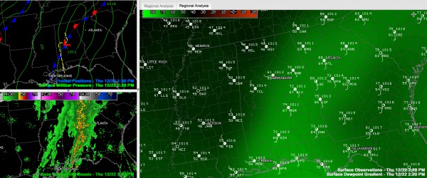
Look at the moisture gradient across Alabama ahead of and behind our cold front. The front is east of Birmingham now. The temperature at BHM dropped from 67F to 60F in one hour. The dewpoint dropped to 59F from 65F.
There is no severe weather threat behind the front. The tornado watch does continue for areas south of I-20 and east of the line of storms.
The line of storms extends now from Piedmont to OXford to Montgomery.
The only counties left in the tornado watch are:
Barbour, Bullock, Calhoun, Chambers, Cherokee, Clay, Cleburne, Coosa, Elmore, Lee, Lowndes, Macon, Montgomery, Pike, Randolph, Russell, Talladega and Tallapoosa.
It goes until 5 p.m.
Category: Alabama's Weather, Severe Weather


