A Gorgeous Last Day of 2011
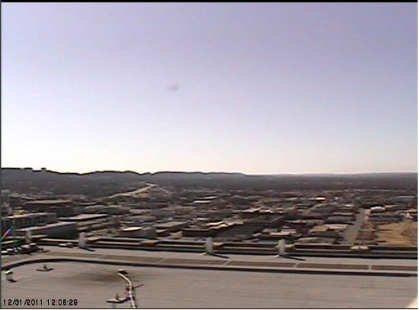
A picture is worth a thousand words as we look at the Birmingham Skycam just after noon on this last day of 2011.
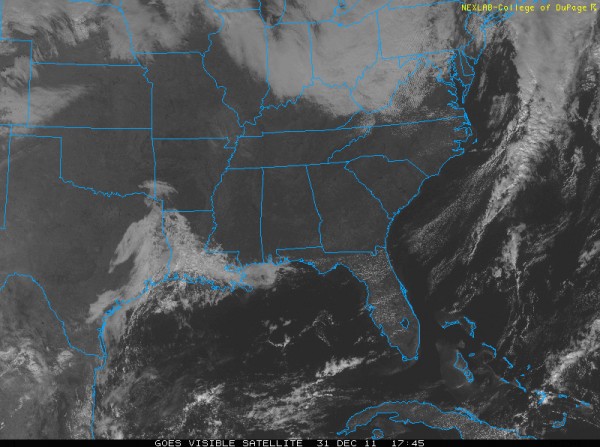
A gorgeous New Year’s Eve day is in progress across Central Alabama. Skies are crystal clear with nary a cloud in sight at press time on visible satellite imagery or skycams over the northern two thirds of the state. The closest clouds were some high clouds moving over northern Arkansas and southern Missouri. They should miss us to the north on their easterly trajectory. Others were pushing out into the Gulf across Mobile County. To the west of that, clouds were increasing and spreading northeastward over Louisiana ahead of a strong upper level system that is over the Rockies right now and a weak surface low over the Texas coastal plain. This is our next weathermaker here in Alabama.
Here is a visible satellite image:
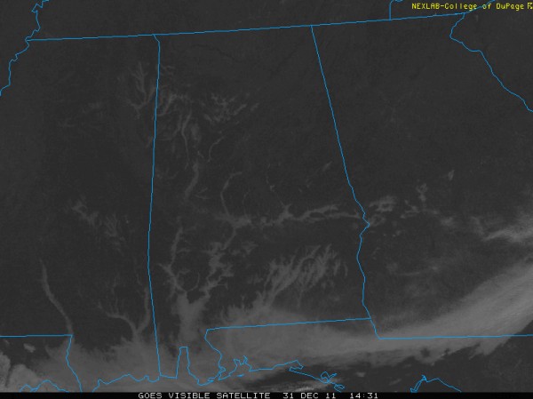
It shows the clouds along the Gulf Coast. The rest of the state is in a severe clear condition. It was fun to watch fog burning off along the rivers and in other valleys on the visible satellite imagery loops this morning. Check out this image from 8:30 this morning.
The excellent satellite images are from the College of DuPage meteorology department website.
RINGING IN THE NEW: The rest of the afternoon will be fabulous, with mostly sunny skies and temperatures warming into the middle and upper 60s. As the sun sets, temperatures will fall quickly into the lower 50s by 6-7 p.m., but that is about as far as they will drop overnight, thanks to an increasing south wind.
Light showers (probably more likely sprinkles) will develop over North and central Alabama during the pre-dawn hours, but your kiss at midnight should still be rain-free. The showers/sprinkles will spread southeastward through the morning ahead of a strong cold front, that should reach I-59 by mid-morning. Winds will shift around to northwesterly and become brisk, ushering in colder air. High temperatures will be recorded about 10 a.m. with falling readings during the afternoon.
We will be in the 40s by dark and fall to below freezing by Monday morning. Some sunshine should return fairly quickly on Sunday, with clear skies by sunset. That persistent northwesterly wind will be with us through the overnight hours tomorrow night, keeping temperatures from getting even colder.
Category: Alabama's Weather


