Sleet Update – 530 pm
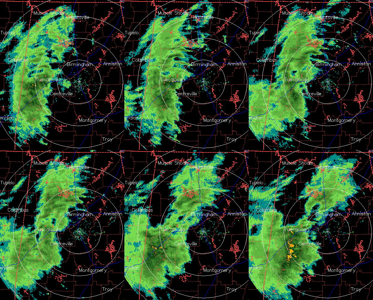
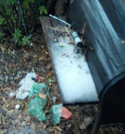
The leading edge of what will be a precipitation event that lasts several hours tonight has now pushed as far east as BHM. The precipitation is starting out in many places as sleet…and some of it is rather heavy. It is sleeting now here in Trussville, and reports of sleet have come in from all over western and central Alabama. The sleet briefly covers elevated surfaces in some spots…check out this picture from twitter of sleet covering a park bench at Univ of Alabama campus in Tuscaloosa.
It is fascinating that it is sleeting when the temperature was 49 at BHM at 5:00 pm, and 42 at TCL. This is a classic example of evaporational cooling. When the temp is 49 but the dewpoint is 17 degrees, the air has only 0.2% water vapor, but with a temp of 49, the air can hold 0.7% water vapor). So in every pound of air, the amount of water can be multiplied by 3.5 before we are saturated. So, as precipitation falls into a dry air mass like this, the evaporation of water cools the air. At the same time, it adds water to the air, raising the dew point. Where the two meet is the wet bulb temperature. This is the temperature we should settle out at once it rains/sleets for while. In BHM that temp is about 38. The rain is forming aloft in warmer air, then falling into the evaporatively cooled air near the surface and freezing, forming the ice pellets.
The sleet could last into the evening, but it will eventually turn over to all rain as warmer air moves in aloft, making the raindrops falling warmer and harder to freeze. We do not expect any significant travel problems with this event…surface temperatures probably won’t drop much below 40. But, in the heavier pockets of sleet, they could briefly cover a bridge and cause a slick spot for 5-10 minutes, so use extra care when driving this evening!
Category: Winter Weather


