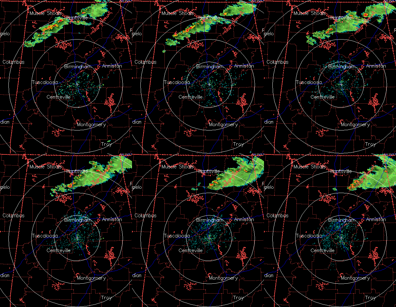
Severe weather update – 738 pm
A line of storms continues to move through northern Alabama. Some of these storms have been severe, producing large hail. Fortunately, there have been no reports of tornadoes, even though a storm that went over Huntsville showed rotation on radar. These storms will continue to move ESE, affecting Gadsden, Fort Payne, and Centre over the next 2 hours.
The models have been persistent today in bringing much more moist, unstable air into Alabama late tonight. However, the models seem to be ahead of themselves in bringing high dewpoints northward toward BHM. We still have to be wary of a severe weather threat in the I-20 cities later tonight given that the models keep showing impressive values, but right now I just don’t see how the moisture is going to get here. We have plenty of wind shear, so if any storms do make it this far south they may be severe and even produce isolated tornadoes. I don’t always feel great about going against multiple models, but I think the chance of storms in TCL, BHM, or ANB tonight is less than 25%. Problem is, if we do have storms, they could be severe.
Keep a source of weather info handy, and we’ll keep the blog updated.
Category: Severe Weather


