Second Tropical Storm Before June 1st?
According to the National Hurricane Center’s North Atlantic Hurricane Database, there have only been two years since 1851 that there were two tropical storms prior to the “official” state of the season, which is June 1st.
It happened in 1908, when a hurricane formed in the eastern Caribbean in March, crossed the Virgin Islands and moved out over the open Atlantic. Top winds reached 100 mph. This hurricane was followed by a tropical storm in May that formed as a tropical depression near the Turks and Caicos Islands. It skirted to the east of the Bahamas, becoming a tropical storm on the 26th. It then started to recurve, but brushed by Cape Hatteras on the 29th as a 75 mph hurricane.
In 1887, there were two tropical storms in May. One formed south of Bermuda on the 14th and brushed by the island on the 15th and 16th as a strong tropical storm with max winds of 65 mph. It peaked at 75 mph before weakening. It landed in the Canadian Maritimes east of Halifax on the 19th, barely a tropical storm still.
The second tropical storm formed south of Jamaica on May 16th and crossed over Cuba on the 19th. It then moved over Great Exuma and San Salvador. Its top winds were 60 mph.
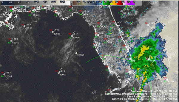
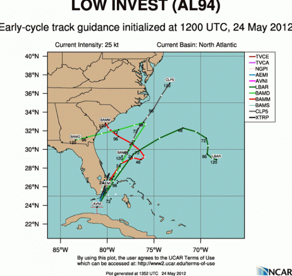
We may get to add 2012 to that short list of seasons with two tropical storms. Of course, last week we had Tropical Storm Alberto that formed off the coast of the Carolinas and meandered for a couple of days before heading out to sea. Not, the National Hurricane Center is monitoring a low pressure system and area of disturbed weather near the Florida Keys and Miami. It has dumped prodigious rainfall amounts including 9.70 inches in Miami on Monday, the second wettest May day there.
The system is a little better organized and is expected to move northeast, crossing somewhere over South Florida or between Miami/Fort Lauderdale and the Bahamas and then it is anybody’s guess. The GFS turns it back west, moving it inland over Northern Florida and then taking across the Panhandle next week as a weak system.
That could mean rain for the Gulf Coast starting by Memorial Day. It could also increase our rain chances a but as we move deeper into next week.
Category: Alabama's Weather, Tropical


