Hattiesburg Tornado Now Rated EF-4
National Weather Service damage survey teams initially reported that the tornado that struck Hattiesburg late yesterday afternoon was a high end EF3, but damage indicators that they found near Oak Grove in Lamar County justified upgrading it to EF-4 with max winds of 170 mph.
Meteorologist in Charge Alan Gerard will join us tonight live on WeatherBrains at 8:30 p.m. Here is Alan meeting with a survivor of the tornado today.
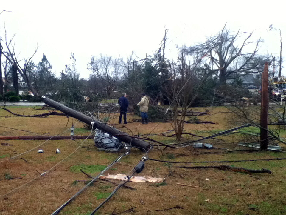
Image from NWS Jackson
For those of you who took pictures of the HBG tornado, the NWS Jackson is seeking images that you will allow us to use for outreach/research purposes.
Follow the NWS Jackson on Twitter @NWSJacksonMS.
Their homepage.
Category: Headlines, Severe Weather
About the Author (Author Profile)
Bill Murray is the President of The Weather Factory. He is the site's official weather historian and a weekend forecaster. He also anchors the site's severe weather coverage. Bill Murray is the proud holder of National Weather Association Digital Seal #0001 @wxhistorianSubscribe
If you enjoyed this article, subscribe to receive more just like it.


