Showers and Storms Starting to Light the Radar
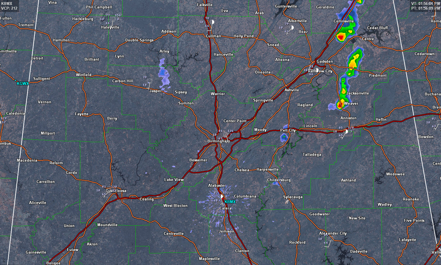
Showers and storms are starting to form over the eastern part of Alabama this afternoon in places where there has been sunshine.
One such storm quickly blossomed near Gadsden and moved up I-59 a bit, becoming pretty strong in the process, with heavy rain and frequent lightning, as well as some gusty winds most likely.
Within 15 minutes though, it began to weaken.
New storms are popping up north of Anniston, near Weaver and Jacksonville. Another is straddling US-278 between Gadsden and Piedmont
Cheating and looking at the composite reflectivity on the radar, one is building south of Pell City.
The activity is being aided by the sunshine that is breaking out over the eastern half of the area.
More showers and storms will form through the afternoon, mainly over the eastern part of the area. The stronger storms will have gusty winds and even some small hail as well as dangerous lightning and heavy rain.
Category: Alabama's Weather
About the Author (Author Profile)
Bill Murray is the President of The Weather Factory. He is the site's official weather historian and a weekend forecaster. He also anchors the site's severe weather coverage. Bill Murray is the proud holder of National Weather Association Digital Seal #0001 @wxhistorianSubscribe
If you enjoyed this article, subscribe to receive more just like it.


