

Coldest Air Since 1996
An all new edition of the ABC 33/40 Weather Xtreme video is available in the player on the right sidebar of the blog. You can subscribe to the Weather Xtreme video on iTunes by clicking here.
AT DAYBREAK: The good news is that we are hearing of no widespread travel issues this morning. Still, there could be some patches of “black ice” around, so take it easy out there as you drive to work and school.
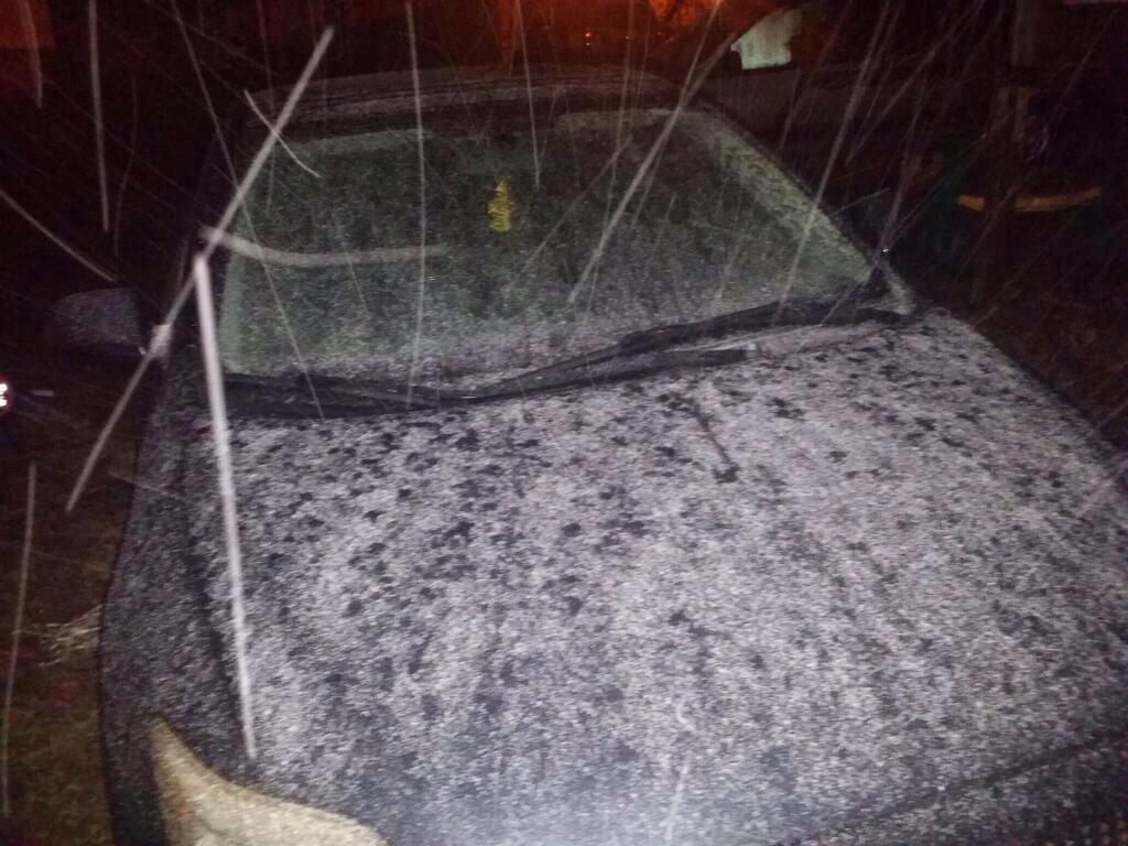
As expected, there was nothing more than a dusting of snow in most places last night… this shot is from @heath22crane in Hueytown as the snow was falling.
Snow flurries are possible this morning, but they won’t amount to much.
TEMPERATURES: Had a report a few minutes ago from Hackleburg, in Marion County… 12 degrees with a wind chill index of 5 degrees below zero. We have temperatures between 10 and 13 over Northwest Alabama… low 20s are around Birmingham, Tuscaloosa, Anniston, and Gadsden. Temperatures will continue to fall through mid-morning, and then simply hover in that range for the rest of the day.
A north wind of 15-25 mph will keep the wind chill index in the 0 to 10 degree range all day. The last time we had a daytime high under 25 degrees was February 4, 1996.
TONIGHT: It will be the coldest night of the cold wave. We still project lows early tomorrow between 5 and 10 degrees. This should be our coldest morning since February 5, 1996 when our low was 6 degrees. The wind will be in the 5-10 mph range, and the wind chill index will be below zero in many places at daybreak tomorrow.
TOMORROW: Despite a sunny sky, we won’t get past the mid 20s tomorrow, but at least the wind won’t be as fierce during the day.
WEDNESDAY: The low here early Wednesday will be in the 10-15 degree range, but we finally begin to warm up later in the day; we should go above freezing by late morning. This will wrap up 60+ consecutive hours of sub-freezing temperatures.
LATER THIS WEEK: The next impulse will bring some risk of showers Thursday and Friday. Doesn’t look like anything widespread or heavy on these two days, and it should be warm enough for all rain here with no ice issues. In fact, we will rise into the 50s Thursday, and some places might even flirt with 60 degrees by Friday afternoon.
THE WEEKEND: At this point Saturday looks wet, with periods of rain likely. We might even have a thunderstorm with temperatures expected to rise into the low to mid 60s during the day, creating a touch of surface based instability. Not sure we see much sun on Sunday, and there could be a lingering shower or two, but the day Sunday should be drier.
LONG RANGE: The 06Z GFS hints cold air should return to Alabama in the Jan 17-21 time frame, but nothing like the air we have right now (this is a once in 20 year kind of cold airmass for us). See the Weather Xtreme video for maps, graphics, and details.
WEATHER BRAINS: Don’t forget you can listen to our weekly 90 minute netcast anytime on the web, or on iTunes. This is the show all about weather featuring many familiar voices, including our meteorologists here at ABC 33/40. We will produce this week’s show at 8:30 CT tonight… you can watch it on “James Spann 24/7” on cable systems around the state, or on the web here.
CONNECT: You can find me on all of the major social networks…
Facebook
Twitter
Google Plus
Instagram
Look for the next Weather Xtreme video here by 4:00 or so this afternoon. Enjoy the day and stay warm!
Category: Alabama's Weather
About the Author (Author Profile)
James Spann is one of the most recognized and trusted television meteorologists in the industry. He holds the AMS CCM designation and television seals from the AMS and NWA. He is a past winner of the Broadcast Meteorologist of the Year from both professional organizations.Subscribe
If you enjoyed this article, subscribe to receive more just like it.


