

Storm Reports
The Winter Storm is well underway across Alabama this evening. The transition to snow is now approaching Interstate 20 in Jefferson County.
Where the transitions has occurred already, it happened very rapidly at locations across our northwestern counties. To begin with is was taking about an hour for the transitions to occur. The last few reports I have seen have it occurring in about five minutes.
Switch over from Rain to sleet to snow in Oak Grove in western Jefferson County in eight minutes.
Wet Snow now falling in Hoover.
Sleet atop Red Mountain.
More snow being reported throughout Jefferson County.
More Winter Weather Reports:
West Alabama:
Sleet and snow falling across portions of Tuscaloosa County. Switch over to snow in Brookwood at 5:08PM, began accumulating at 5:14PM in grassy areas.
Snow is beginning to accumulate in Pickens County in Reform.
Some minor accidents in Lamar County because of ice covered roads.
U.S. 43 and Hwy 17 are seeing issues Road conditions are deteriorating rapidly.
East Alabama:
Snow and ice spreading acros Etowah, St. Clair, Cherokee, and Calhoun counties.
Snow covering everything in Fyffe.
Sleet/snow near Leeds and Pell City
These are just a few reports of the thousands that are streaming in from across the state.
A few pics sent in via twitter:
From Scott Bouldin in the Kennedy Community of Lamar County.
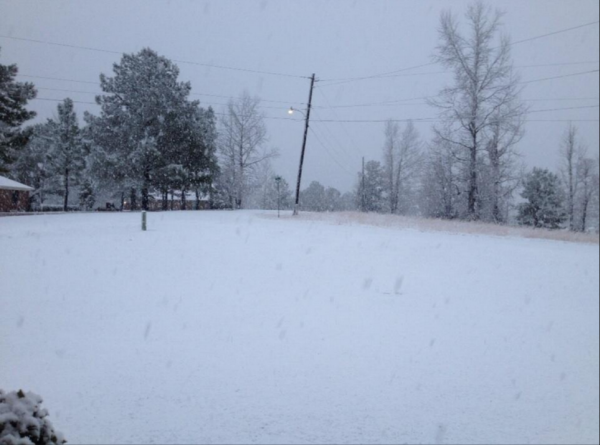
From Brandi Kelley-Foster in Good Hope in Cullman County.

From Michael Moon in Etowah County.

Category: Alabama's Weather, Winter Weather
About the Author (Author Profile)
Macon, Georgia Television Chief Meteorologist, Birmingham native, and long time Contributor on AlabamaWX. Stormchaser. I did not choose Weather, it chose Me. College Football Fanatic. @Ryan_StinnetSubscribe
If you enjoyed this article, subscribe to receive more just like it.


