Showers Fewer In Number Today
An all new edition of the ABC 33/40 Weather Xtreme video is available in the player on the right sidebar of the blog. You can subscribe to the Weather Xtreme video on iTunes by clicking here.
HEATING UP: The upper high centered west of Alabama will nose in here today, meaning fewer showers, and a hotter afternoon. We figure most communities will rise into the upper 80s today, and while there could be a few isolated afternoon showers and storms around, they will be isolated, and mainly over the eastern half of the state.
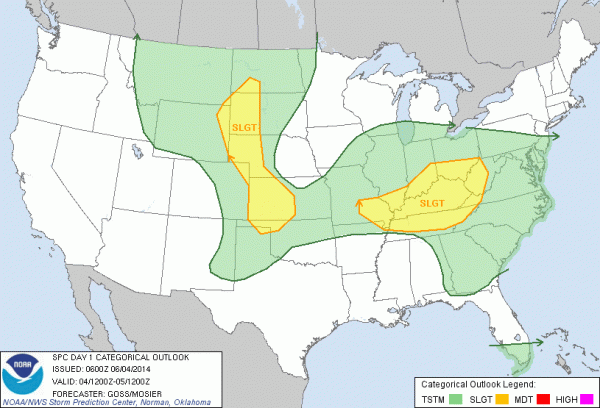
TO THE NORTH: SPC has the standard “slight risk” of severe weather up for all of Kentucky and much of Tennessee…
TOMORROW/FRIDAY: A surface front, responsible for the storms north of Alabama today, will push southward, and we expect an increase in the number of showers and storms over the northern half of the state tomorrow afternoon. Some of these storms could pack a punch, with potential for some hail and strong, gusty winds.
The front stalls out over North Alabama tomorrow night, so we will maintain a fairly decent chance of showers and storms into Friday. No “wash-out”, but a passing storm or two is likely. And, again on Friday some of the storms could be pretty strong. SPC has parts of North and West Alabama in the standard “slight risk” of severe weather Friday. We expect highs generally in the upper 80s tomorrow and Friday.
THE ALABAMA WEEKEND: Saturday looks like a pretty typical June day; a mix of sun and clouds with the risk of a few scattered showers and thunderstorms. Chance of any one spot getting wet is about one in three, and the high will be somewhere between 87 and 90 degrees. Showers and storms should be fewer in number Sunday as the upper ridge creeps back into Alabama from the west; best chance of a storm Sunday afternoon will be over the eastern half of the state.
NEXT WEEK: Another surface boundary will approach from the north, so once again there should be an increase in the number of scattered showers and thunderstorms Monday and Tuesday. See the Weather Xtreme video for the maps, graphics, and details.
AT THE BEACH: The weather looks excellent on the coast from Panama City over to Gulf Shores through the weekend with mostly sunny days, fair nights, and only very isolated showers. Highs in the 80s… the sea water temperature at the Dauphin Island Sea Lab this morning is 77 degrees.
TROPICAL WEATHER: NHC is monitoring a disturbance in the Bay of Campeche… only a 10 percent risk of development in the short term. The GFS shows this feature moving east, toward South Florida by the weekend with some potential for heavy there. See the Weather Xtreme video for more details.
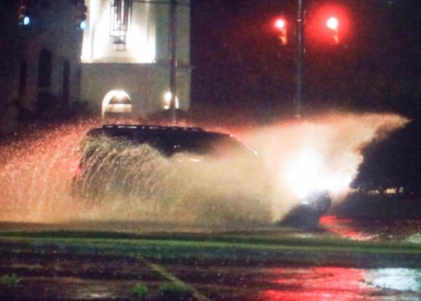
TUESDAY SOAKER: One of our Skywacthers in Weaver, just north of Anniston, reported 2.45″ of rain last night, and there was some minor flooding in parts of Anniston.
But, many Alabama communities didn’t see a drop of rain. So it goes with scattered storms on a summer afternoon in Alabama.
WEATHER BRAINS: Don’t forget you can listen to our weekly 90 minute netcast anytime on the web, or on iTunes. This is the show all about weather featuring many familiar voices, including our meteorologists here at ABC 33/40.
CONNECT: You can find me on all of the major social networks…
Facebook
Twitter
Google Plus
Instagram
Look for the next Weather Xtreme video here by 4:00 or so this afternoon. Enjoy the day!
Category: Alabama's Weather


