

Tropical system
The tropical wave 200 miles east of the Leeward Islands continues to be disorganized today, but NHC feels that conditions will become more favorable for development into a disturbance or a tropical storm over the next day or two. US Air Force and NOAA P3 aircraft will be investigating the area today and tomorrow.
It’s still nothing to get too excited about, since it is 5 days from south Florida or the Gulf, even if it develops AND goes that direction. But, computer models, with the exception of the GFS, seem to bring some type of tropical system toward south Florida or the Florida Keys by early next week.
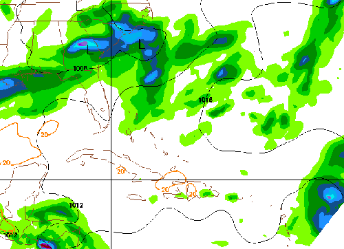
Here is a loop of the NAM model, which only goes out 84 hours, but is fairly high resolution. It intensifies the system quickly, and keeps it north of the Windward Islands.
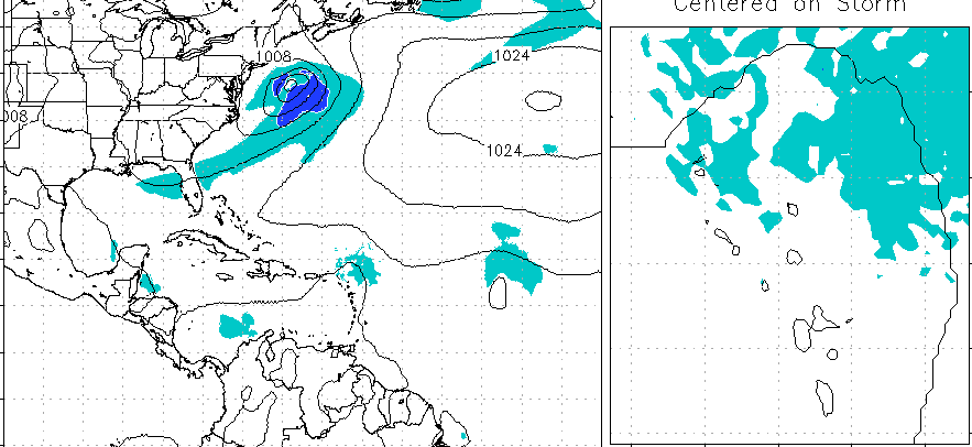
The GFDL develops the system into a Category 2 hurricane, and has it sitting east of Palm Beach in 5 days. Here is a loop (click on it for loop), with a zoom in on the system and its winds on the right.
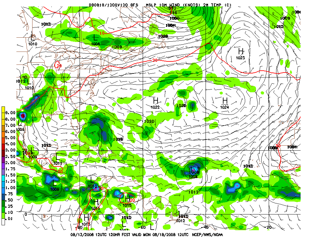
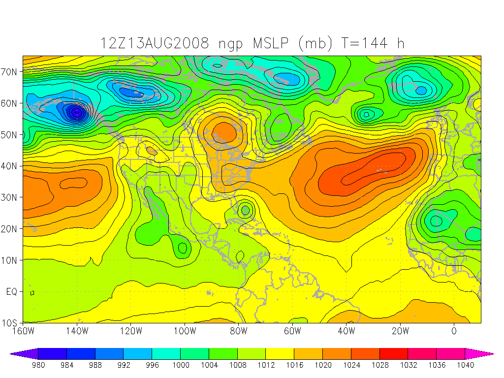
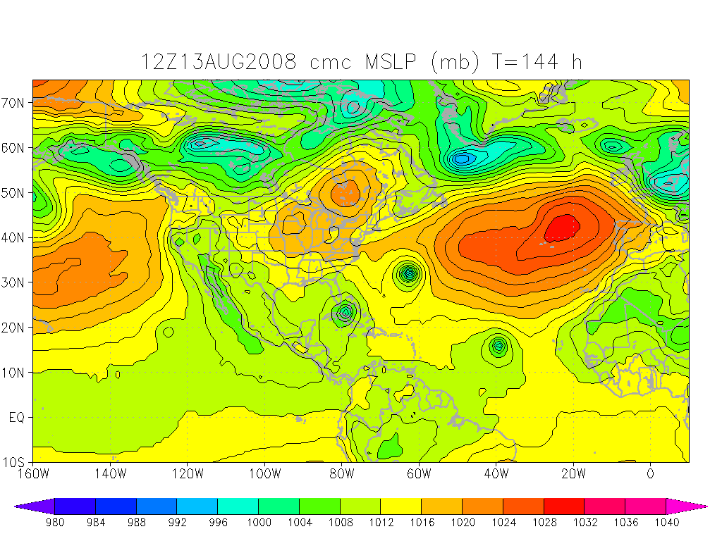
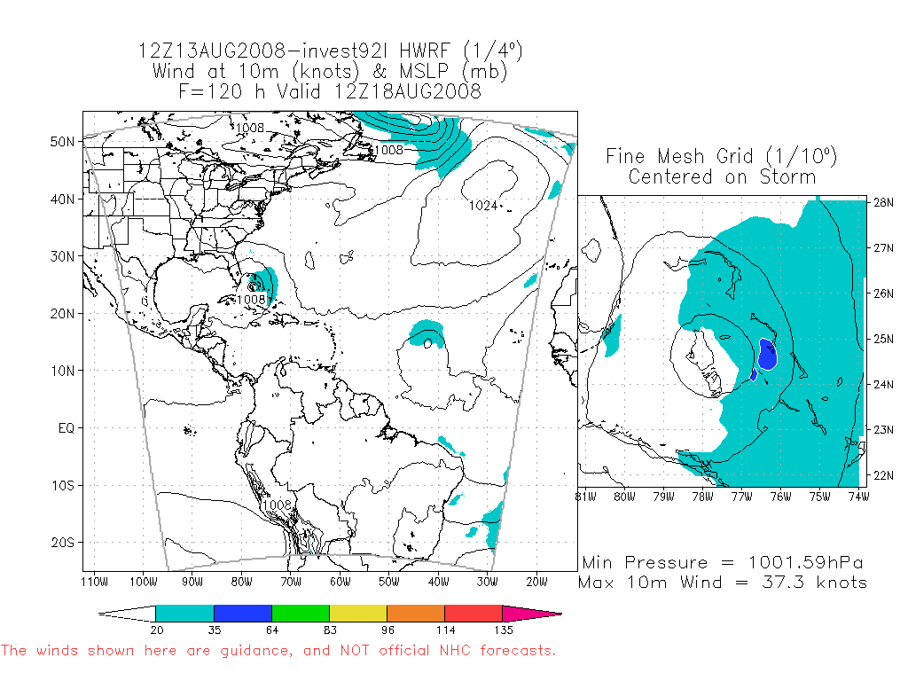
Other model plots (GFS, NOGAPS, GEM, and HWRF) are shown below.
Category: Uncategorized
About the Author (Author Profile)
Subscribe
If you enjoyed this article, subscribe to receive more just like it.


