

A Few Showers Forming
A little miscommunication over staffing this morning means no Weather Xtreme video. Brian should be back producing your favorite weather video tomorrow morning. Here is the morning discussion:
FRIDAY ACTIVE WEATHER: A vigorous upper level disturbance spun southeastward out of Arkansas into western Tennessee and then down across Mississippi into West Central Alabama Friday. The system prompted a few severe thunderstorm warnings for damaging winds, but reports were isolated to downed trees. The system was riding southeastward along a moisture discontinuity, fueled by the warm, moist air to the south. The system eventually made it to the Florida Panhandle by late afternoon.
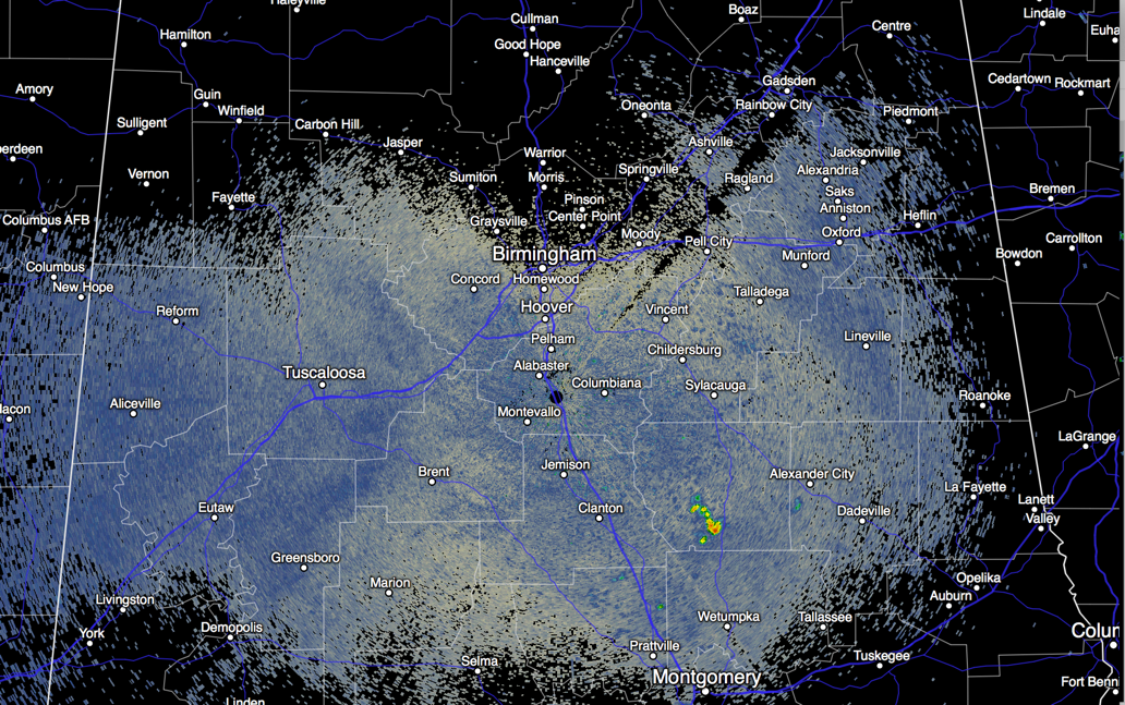
A FEW MORNING SHOWERS: A few showers have formed this morning in Coosa County southwest of Rockford. It does appear that a few showers will form this morning in an arc generally along and south of US-82/US-280 from East Central Alabama back into areas north of Tuscaloosa. Some of those will grow into storms as they all push south in the upper flow.
FOR YOUR WEEKEND: We expect a good supply of hazy sunshine today and Sunday, with only a small risk of any one spot seeing a cooling shower or thunderstorm. We reach the mid 90s today and upper 90s Sunday afternoon. A few spots over West Alabama could very well see 100 degrees Sunday, and a heat advisory is in effect for much of West Central and South Central Alabama for heat index values that will be at or above 105F.
NEXT WEEK: A surface boundary will slowly approach from the north, and we will see scattered, mostly afternoon and evening showers and thunderstorms Monday, perhaps a little more numerous on Tuesday. Then, drier continental air will drop into North Alabama over the latter half of the week, this means we could very well have lower humidity levels and cooler nights by Thursday and Friday. Could we see 50s again in the normally cooler spots by late in the week? Yes!
GULF COAST WEATHER: About 6 to 8 hours of sunshine daily on the Gulf Coast from Panama City Beach west to Gulf Shores through early next week with a passing thunderstorm from time to time. An approaching front will trigger additional showers and storms by midweek. Highs on the coast will be in the upper 80s, with mid 90s inland. The sea water temperature early this morning at the Dauphin Island Sea Lab is 83 degrees. See the complete Gulf Coast 7 Day Planner here . The Gulf Coast Beach Forecast is presented by Gulf Shores Plantation by Mandoki Hospitality Vacation Rentals. Escape to Gulf Shores Plantation where memories last a lifetime.
DANCING WITH THE STATS: It was 97F on Friday at the Louis Armstrong New Orleans International Airport and 100F at the Audubon Park Zoo. Both were records for the date. It was 98F at Baton Rouge, which also tied the record for August 7th.
IN THE TROPICAL ATLANTIC: Tis the season for African Waves to cross the Atlantic and three are lined up now across the African Continent. This signals an uptick in activity across the main development region of the Atlantic, but there is still lots of dry air present, so don’t look for a sudden rush of named storms. In fact, NOAA has downgraded their forecast for the season to just 1-4 additional hurricanes.
IN THE WESTERN PACIFIC: Former Super Typhoon Soudelor smashed into Taiwan Friday afternoon with top winds of 120 mph (category 3). It will go on to strike Mainland China today as a category 1 or 2 typhoon.
ADVERTISE WITH US: Deliver your message to a highly engaged audience by advertising on the AlabamaWX.com website. The site enjoyed 10.2 MILLION pageviews in the past 12 months. There were an amazing 4 MILLION pageviews in February alone! Don’t miss out! We can customize a creative, flexible and affordable package that will suit your organization’s needs. Contact me, Bill Murray, at (205) 687-0782 and let’s talk.
WEATHERBRAINS:. You’ll enjoy the most recent WeatherBrains, which featured a visit with a writer who has written about the rebuilding of New Orleans. A perfect entrée to our upcoming tenth anniversary special on the storm, which will be recorded on August 27th. Check out the weekly netcast that’s all about weather at www.WeatherBrains.com. You can also subscribe on iTunes.
ON THIS DATE IN 1980: After weakening near Haiti and Jamaica, Hurricane Allen was again strengthening and a minimum pressure of 899 mb (26.55 inches) was recorded by a NOAA aircraft on the 7th when it was off the Yucatan Peninsula. Only Hurricane Wilma (882 mb in 2005), Hurricane Gilbert (888 mb in 1988) and the infamous Labor Day hurricane of 1935 with a central pressure of 892 mb were lower than Allen’s 899 mb central pressure.
Category: Alabama's Weather
About the Author (Author Profile)
Bill Murray is the President of The Weather Factory. He is the site's official weather historian and a weekend forecaster. He also anchors the site's severe weather coverage. Bill Murray is the proud holder of National Weather Association Digital Seal #0001 @wxhistorianSubscribe
If you enjoyed this article, subscribe to receive more just like it.


