Invest 96L To Be TD#4/Danny?
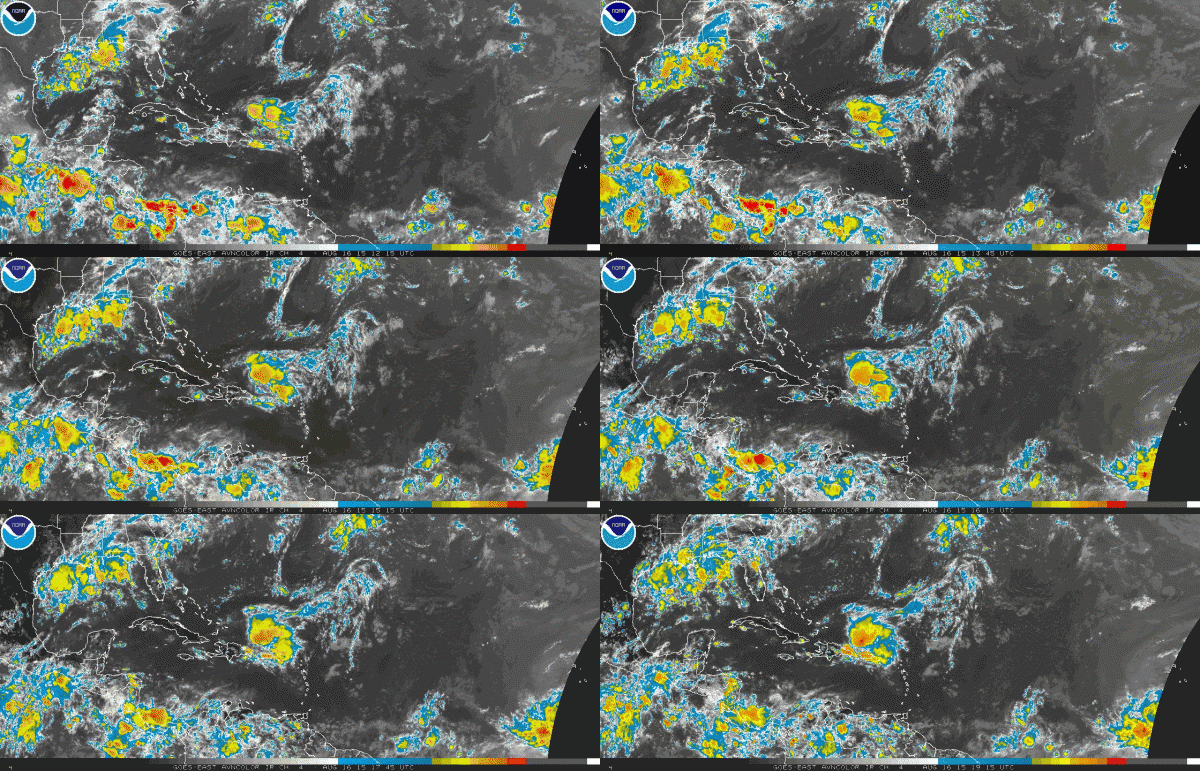
The tropical wave in the far eastern Atlantic approaching 30W longitude has a surface low associated with it now and it is increasingly looking like it will become tropical depression number four in the next couple of days. The NHC now puts the probability of that happening in the next 48 hours at 50 percent and the probability in the next 5 days at 60 mph.
Wind shear is low in the vicinity of the system, which enhances the potential for development. It will be moving over warm sea water, running between 27.5-28C, which is above the 26.5C threshold. It is ensconced in high humidity air for now, which should not serve as a serious impediment.
The SHIPS model shows that the disturbance could become a depression anytime, a tropical storm by Monday morning and a hurricane by 60 hours, which is early Wednesday morning.
The morning run of the GFS was not very bullish on the storm becoming very strong, running it into some more substantial shear as it moves into the middle of the Atlantic between the Caribbean and the Cape Verdes. It also turns the system out to the northeast before it reaches the islands.
Interestingly, the GFS develops a couple of additional tropical cyclones behind this one, with the next one reaching the islands around the first of the month. With a ridge developed back to the north of it, that system could get into the Caribbean.
The next named storm will be Danny. The next will be Erika. The 2015 Atlantic Hurricane Season is not dead just yet.
Category: Tropical


