Unseasonably Warm Weekend
The high reported at the Birmingham Shuttlesworth Airport yesterday was 75, only three degrees from the record of 78 for Friday set back in 2007. The unseasonably warm weather will stick with us for the weekend thanks to the surface highs centered just off the South Carolina coast as well as the upper ridge with a ridge axis pushing from the Florida Panhandle northward into Southeast Canada. In addition to the warmth, we also have a dense fog advisory for much of the Alabama counties along and south of Interstate 59. The fog should burn off or lift by 9 am.
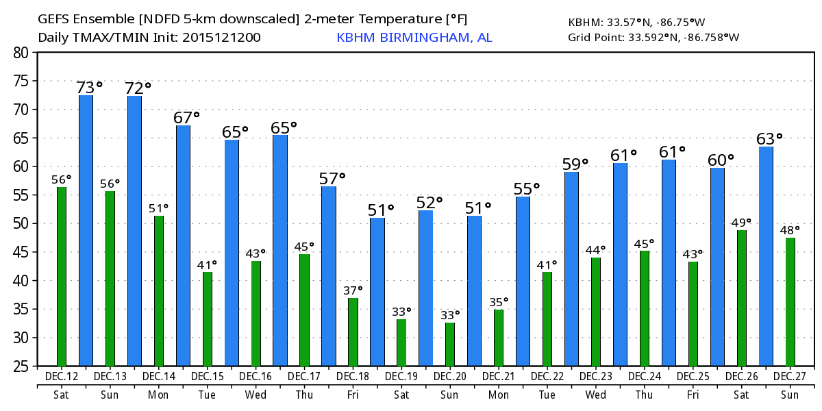
Temperatures today and Sunday will climb into the 70s. Between the clouds from the fog and the high clouds spreading into Alabama from the developing system to our northwest, I don’t think we’ll have quite enough sunshine to tie or break the record high for this date which is 78 today and 79 Sunday. But with a solid southerly flow, we will be considerably warmer than the 30-year averages for early December which is 57 degrees.
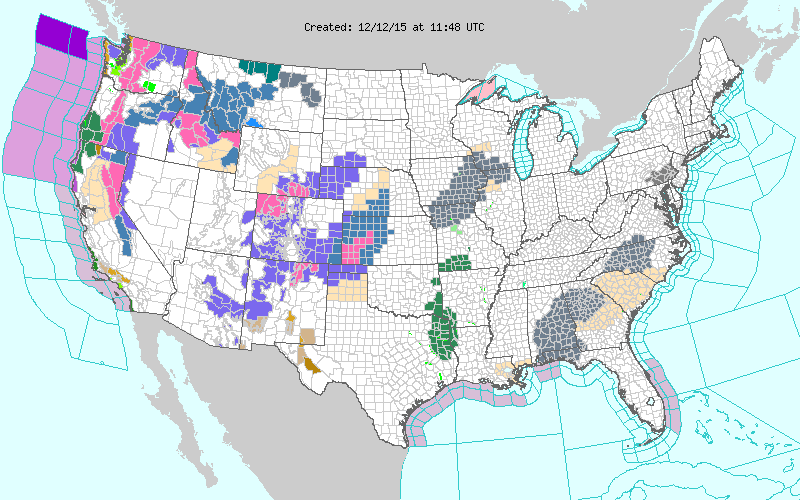
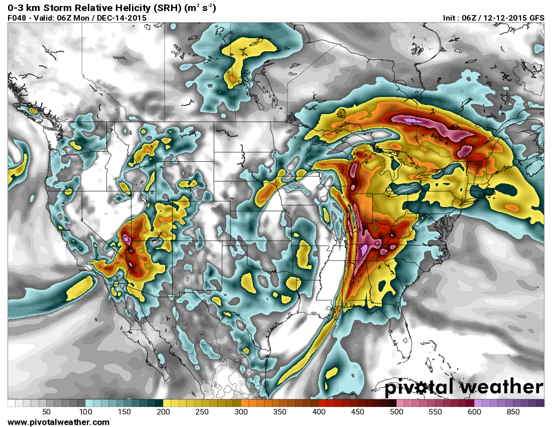
All eyes will be watching the system to our northwest which is producing winter weather issues in the Rockies and the western sections of Nebraska and Kansas. The surface low is forecast to move into the western Great Lakes on Monday while the upper closed low moves to Lake Michigan. This will drag a cold front through the Lower Mississippi River Valley late Sunday and into the first half of Monday. All indications are that we will not have a severe weather threat. There are two good reasons for this, first the front is coming through in the early morning hours of Monday when the atmosphere is the most stable, and second, there appears to be very little instability with this system. One factor that still suggests some severe potential is the shear as storm relative helicity reaches values in the 400 to 500 range just ahead of the front. Strong wind just off the surface at 925 millibars will reach speeds of near 50 knots, so we could still have some potential for strong to severe wind. Besides this risk for severe weather, there will be strong gradient wind ahead of the front on Sunday afternoon and evening and early Monday morning.
The front will clear the eastern sections of Alabama Monday afternoon as rain ends from west to east. Temperatures Monday will fall off a good 10 to 14 degrees while remaining above our seasonal values.
Tuesday and early Wednesday should be free of rain, but another closed low and associated trough will rotate by late Wednesday or early Thursday. I’m not sure that our atmosphere will recover enough moisture for this trough to really create much in the way of precipitation. Our forecast for now reflects a chance of showers. Once again, this system should come by with little or no instability for thunderstorm development.
As that upper close low moves into Canada Friday, the flow over the eastern half of the country will gradually go more northwesterly. This should force our temperatures down a little further bringing them back to more typical values with lows in the 30s and highs in the 50s for the end of the week and into the weekend.
Headed to the beach? Today and Sunday will be beautiful but Sunday will be a bit windy. Showers and storms will arrive Sunday night and will exit eastern sections of the coastal area by noon on Monday. After that, it will be cooler, but not cold through midweek with highs in the 60s and lows in the 50s. A chillier airmass will arrive after a period of showers on Thursday with a cold front passage. By next weekend, highs will be in the 50s and lows will be in the 30s and 40s. Water temperatures are around 60 degrees. There will be a moderate to high rip current threat through the weekend. See the complete Gulf Coast 7 Day Planner here. The Gulf Coast Beach Forecast is presented by Gulf Shores Plantation by Mandoki Hospitality Vacation Rentals. Escape to Gulf Shores Plantation where memories last a lifetime.
Looking further out in time, the pattern remains active with a steady parade of upper level systems to deal with. Another one is expected to come by around the 22nd. Christmas for the Southeast US looks mild to warm with another ridge in place from the Gulf of Mexico northward into the eastern Great Lakes. A relatively low latitude closed low in the Southwest US on the 25th will eject northeastward around the 26th bringing the potential for another round of showers.
Off to Helena United Methodist Church this morning to participate in The Festival of Three Kings. My role has been the guy in the jolly red suit, so no resemblance to Colonel Sanders today! Have a great day and be sure to do at least one act of kindness today. Godspeed.
-Brian-
Category: Alabama's Weather
About the Author (Author Profile)
Brian Peters is one of the television meteorologists at ABC3340 in Birmingham and a retired NWS Warning Coordination Meteorologist. He handles the weekend Weather Xtreme Videos and forecast discussion and is the Webmaster for the popular WeatherBrains podcast.Subscribe
If you enjoyed this article, subscribe to receive more just like it.


