

Chilly and Dry Weather to Start 2016
2015 ended on a very wet note with some record warmth, but it appears that 2016 will start on flip side with cool and dry weather. Plus we get to cheer for Alabama as they take on Clemson for the National championship.
The sky will remain cloudy today with the only significant rain occurring across the counties of South Alabama. Central Alabama will remain essentially dry, however, you may experience a few sprinkles especially during the morning. There is a dry layer sandwiched between moisture new the ground and moisture above 400 millibars, so I don’t expect to see any measurable rain. Temperatures will remain on the chilly side with highs struggling to reach the upper 50s.
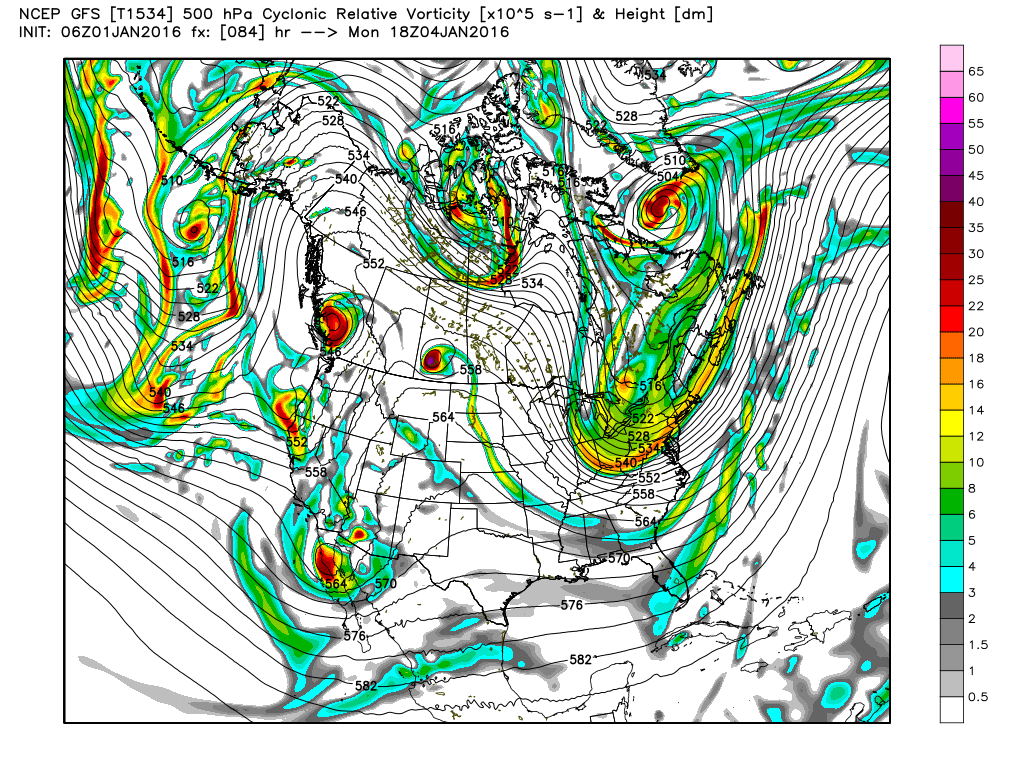
The upper air pattern will see a trough established over the eastern half of the country today, and that trough will stick with us until Monday. That will bring several days of dry weather along with somewhat chilly temperatures as lows dip below freezing into the first of next week. Highs will stay in the upper 40s Saturday, but with plenty of sunshine, I expect to see highs Sunday through Tuesday edge upward into the lower 50s.
The beach weather remains cool and wet. Rain is likely to occur into Saturday with Sunday going dry. It should stay dry much of next week, at least until the very end of the week. Temperatures will be chilly with lows in the 40s and highs in the 50s.
An upper ridge returns for us on Tuesday and into the middle of the week so we should remain dry as our temperatures slowly moderate with lows coming up above freezing by Thursday and highs in the upper half of the 50s.

Yet another pattern with a trough in the western US with a ridge in the east will set up for the end of the week and into next weekend. This verges on voodoo country, so we may have to adjust the timing of the next rain chance. Based on the latest model output, rain will probably not be an issue until Friday and Saturday. At that point, a fairly strong short wave will eject out of the Southwest US as the surface flow comes around to a southerly direction bringing moisture levels up across the Lower Mississippi River Valley and the Southeast US.
The upper air pattern remains active as we peek out into voodoo country. Another short wave will impact our weather with rain chances on Monday, January 11th. By the 13th of January, the pattern morphs again into a long wave trough over the eastern US bringing another chill down for us. But the chill does not last long as yet another trough develops over the Southwest US pumping up the ridge across Alabama by the 15th of January.
I plan to post the next Weather Xtreme Video here by 8 am or so on Saturday morning. It will probably be posted a little earlier than that since Meaghan Thomas and I will be attending the “polar plunge” in Piedmont, AL, in the late morning. No, I will not be plunging – I have an aversion to becoming an icicle. Have a great day, and Godspeed.
-Brian-

Category: Alabama's Weather
About the Author (Author Profile)
Brian Peters is one of the television meteorologists at ABC3340 in Birmingham and a retired NWS Warning Coordination Meteorologist. He handles the weekend Weather Xtreme Videos and forecast discussion and is the Webmaster for the popular WeatherBrains podcast.Subscribe
If you enjoyed this article, subscribe to receive more just like it.


